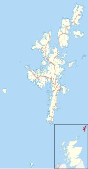
"ගොනුව:Shetland UK location map.svg" සඳහා ගෝලීය භාවිතය
Appearance
This page shows where a file is used on other wikis. You can also find that information at the bottom of the file description page.

ar.wikipedia.org හි භාවිතය
bar.wikipedia.org හි භාවිතය
be-tarask.wikipedia.org හි භාවිතය
bg.wikipedia.org හි භාවිතය
ceb.wikipedia.org හි භාවිතය
de.wikipedia.org හි භාවිතය
- Vorlage:Positionskarte Schottland Shetland
- Flughafen Sumburgh
- Flugplatz Fair Isle
- Tingwall Airport
- Scatsta Airport
- Muckle Flugga Lighthouse
- Sumburgh Head Lighthouse
- Bressay Lighthouse
- Flugplatz Foula
- Flugplatz Papa Stour
- Flugplatz Out Skerries
- Flugplatz Whalsay
- Flugplatz Unst
- Flugplatz Fetlar
en.wikipedia.org හි භාවිතය
- Shetland
- Lerwick
- Jarlshof
- RRH Saxa Vord
- Broch of Mousa
- Broch of Clickimin
- Sumburgh Airport
- Skaw, Unst
- Grutness
- Twatt, Shetland
- Neap
- Brae
- Haroldswick
- Aith
- Scalloway
- Old Scatness
- Mail, Shetland
- Tingwall Airport
- Fair Isle Airport
- Bigton
- Cutts, Shetland
- Broch of Culswick
- Vidlin
- Mossbank, Shetland
- Scatsta Airport
- Aywick
- Westerfield, Shetland
- Clivocast
- RAF Sumburgh
- North Roe
