
ගොනුව:Wales location map.svg

Size of this PNG preview of this SVG file: 501 × 599 පික්සල. අනෙකුත් විභේදනයන්: 201 × 240 පික්සල | 401 × 480 පික්සල | 642 × 768 පික්සල | 856 × 1,024 පික්සල | 1,713 × 2,048 පික්සල | 1,047 × 1,252 පික්සල.
මුල් ගොනුව (SVG ගොනුව, නාමමාත්රිකව 1,047 × 1,252 පික්සල්, ගොනු විශාලත්වය: 237 කි.බ.)
සාරාංශය
| විස්තරය |
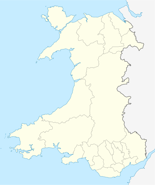
Quadratische Plattkarte, N-S-Streckung 163 %. Geographische Begrenzung der Karte:
Equirectangular projection, N/S stretching 163 %. Geographic limits of the map:
|
| දිනය | |
| මූලාශ්රය | own work, using United States National Imagery and Mapping Agency data |
| කර්තෘ | NordNordWest |
| අනෙකුත් අනුවාදයන් |
Derivative works of this file: |

|
This map has been made or improved in the German Kartenwerkstatt (Map Lab). You can propose maps to improve as well.
|
බලපත්රීකරණය
මෙම කෘතියෙහි හිමිකම් අයිතීන් දරන්නා වන මම,පහත වරපත යටතේ එය ප්රකාශයට පත් කරමි:
මෙම ගොනුව ක්රියේටිව් කොමන්ස් Attribution-Share Alike 3.0 Unported වරපත යටතේ අවසර ලබා ඇත.
- ඔබ නිදහස්:
- බෙදාහදා ගැනීමට – කාර්යය පිටපත් කිරීමට,බෙදා හැරීමට සහ සම්ප්රේෂණය කිරීමට
- නැවත සංකලනය කිරීමට – කාර්යයට අනුවර්තනය වීමට
- පහත කොන්දේසිවලට යටත්ව:
- attribution – වරපත වෙත බැඳියක්ද සපයමින් ඔබ විසින් සුදුසු කර්තෘභාරය ප්රදානය කල යුතු අතර, කිසියම් වෙනස්වීම් සිදුකලේ නම් එයද සඳහන් කල යුතු වෙයි. ඕනෑම සුදුසු ආකාරයට මෙය ඔබ විසින් සිදුකල හැකි මුත්, වරපත්දායකයා විසින් ඔබ හෝ ඔබගේ භාවිතය හෝ පිටසන් කරන බවට ඇඟවෙන ලෙසින් එය සිදු නොකල යුතු වෙයි.
- share alike – මෙම විෂය කාරණා භාවිතා කොට නැවත සංකලනය, ප්රතියෝජනය හෝ වැඩිදියුණුව කලේ නම්, ඉන්පසු ඔබගේ දායකත්වය ඔබ විසින් බෙදාහැරිය යුත්තේ මුල් වරපත හා සමාන හෝ සංගතික හෝ වරපතක් භාවිතා කරමිනි.
ගොනු ඉතිහාසය
එම අවස්ථාවෙහිදී ගොනුව පැවැති ආකාරය නැරඹීමට දිනය/වේලාව මත ක්ලික් කරන්න.
| දිනය/වේලාව | කුඩා-රූපය | මාන | පරිශීලක | පරිකථනය | |
|---|---|---|---|---|---|
| වත්මන් | 13:27, 24 ජූනි 2009 | | 1,047 × 1,252 (237 කි.බ.) | NordNordWest | {{Information |Description= {{de|Positionskarte von Wales, Vereinigtes Königreich}} Quadratische Plattkarte, N-S-Streckung 163 %. Geographische Begrenzung der Karte: * N: 53.5° N * S: 51.3° N * W: 5.5° W * |
ගොනු භාවිතය
පහත දැක්වෙන පිටු 3 ක් විසින් මෙම ගොනුව භාවිතා කෙරෙයි:
ගෝලීය ගොනු භාවිතය
පහත දැක්වෙන අනෙකුත් විකියන් මගින් මෙම ගොනුව භාවිතා කරයි:
- af.wikipedia.org හි භාවිතය
- ar.wikipedia.org හි භාවිතය
- ast.wikipedia.org හි භාවිතය
- az.wikipedia.org හි භාවිතය
- ba.wikipedia.org හි භාවිතය
- bg.wikipedia.org හි භාවිතය
- bh.wikipedia.org හි භාවිතය
- bn.wikipedia.org හි භාවිතය
- br.wikipedia.org හි භාවිතය
- Dolgellau
- Bangor-is-y-coed
- Aberaeron
- Patrom:Infobox UK place
- Rhaeadr Gwy
- Llanfachraeth (Mon)
- Trefor (Mon)
- Caergybi
- Aberporth
- Beulah (Ceredigion)
- Llanfihangel-yn-Nhywyn
- Abermaw
- Llan-faes (Mon)
- Ynyslas
- Clynnog Fawr
- Ffair-rhos
- Patrom:Location map Kembre
- Bont Goch
- Gilfachreda
- Parc-llyn
- Pennant (Ceredigion)
- Brongest
- Bryngwyn (Ceredigion)
- Brynafan
- Brynhoffnant
- Coed-y-bryn
- Cwmsychbant
මෙම ගොනුවේ තවත් ගෝලීය භාවිත බලන්න.