
ගොනුව:MaharashtraKolhapur.png
මෙම පෙරදසුනෙහි විශාලත්වය: 778 × 600 පික්සල. අනෙකුත් විභේදනයන්: 312 × 240 පික්සල | 623 × 480 පික්සල | 997 × 768 පික්සල | 1,280 × 987 පික්සල | 2,168 × 1,671 පික්සල.
මුල් ගොනුව (2,168 × 1,671 පික්සල, ගොනු විශාලත්වය: 426 කි.බ., MIME ශෛලිය: image/png)
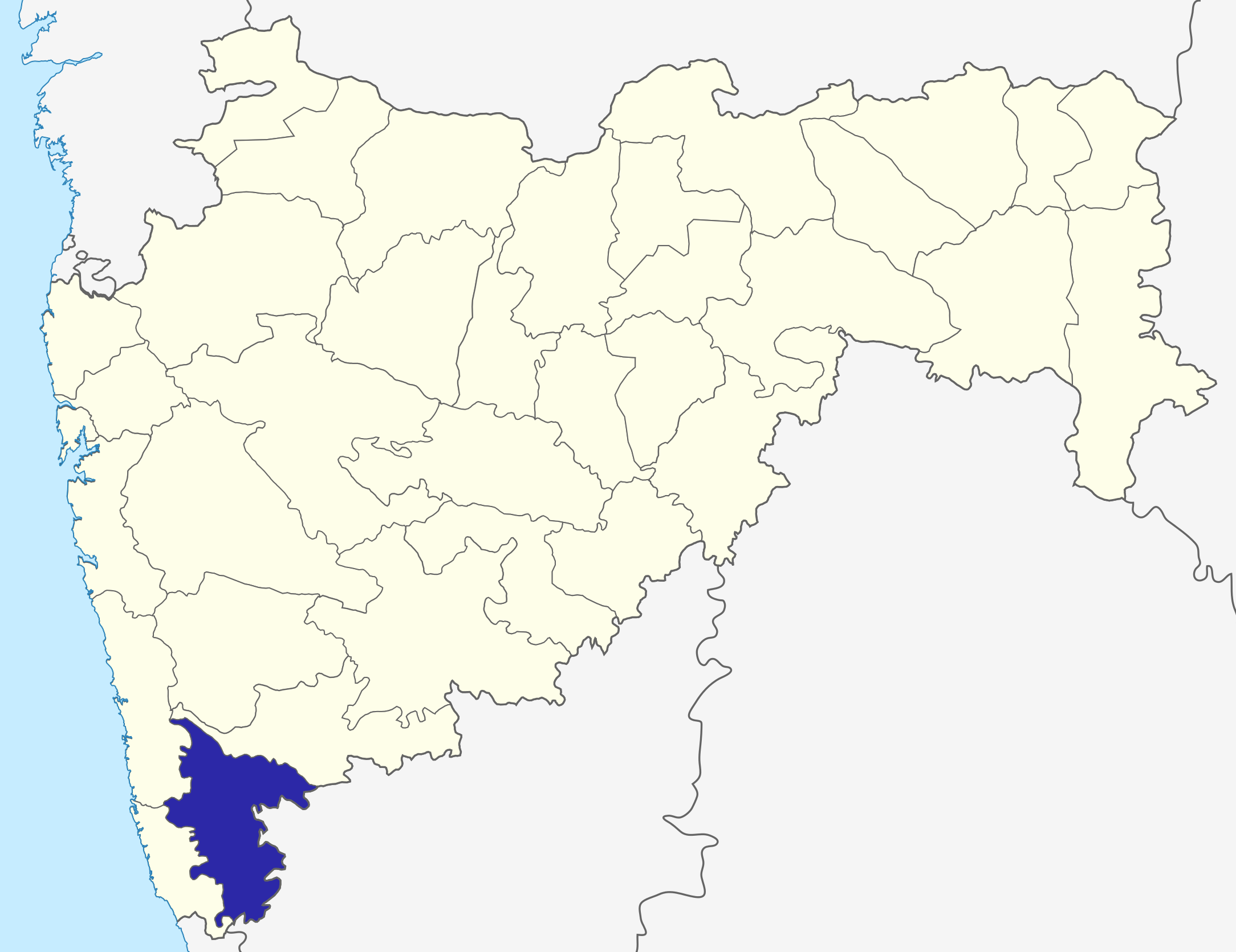
| විස්තරය | Kolhapur District map in Maharashtra |
| දිනය | (UTC) |
| මූලාශ්රය | |
| කර්තෘ |
|
| This is a retouched picture, which means that it has been digitally altered from its original version. The original can be viewed here: Maharashtra locator map.svg:
|
මෙම කෘතියෙහි හිමිකම් අයිතීන් දරන්නා වන මම,පහත වරපත යටතේ එය ප්රකාශයට පත් කරමි:
මෙම ගොනුව ක්රියේටිව් කොමන්ස් Attribution-Share Alike 3.0 Unported වරපත යටතේ අවසර ලබා ඇත.
- ඔබ නිදහස්:
- බෙදාහදා ගැනීමට – කාර්යය පිටපත් කිරීමට,බෙදා හැරීමට සහ සම්ප්රේෂණය කිරීමට
- නැවත සංකලනය කිරීමට – කාර්යයට අනුවර්තනය වීමට
- පහත කොන්දේසිවලට යටත්ව:
- attribution – වරපත වෙත බැඳියක්ද සපයමින් ඔබ විසින් සුදුසු කර්තෘභාරය ප්රදානය කල යුතු අතර, කිසියම් වෙනස්වීම් සිදුකලේ නම් එයද සඳහන් කල යුතු වෙයි. ඕනෑම සුදුසු ආකාරයට මෙය ඔබ විසින් සිදුකල හැකි මුත්, වරපත්දායකයා විසින් ඔබ හෝ ඔබගේ භාවිතය හෝ පිටසන් කරන බවට ඇඟවෙන ලෙසින් එය සිදු නොකල යුතු වෙයි.
- share alike – මෙම විෂය කාරණා භාවිතා කොට නැවත සංකලනය, ප්රතියෝජනය හෝ වැඩිදියුණුව කලේ නම්, ඉන්පසු ඔබගේ දායකත්වය ඔබ විසින් බෙදාහැරිය යුත්තේ මුල් වරපත හා සමාන හෝ සංගතික හෝ වරපතක් භාවිතා කරමිනි.
ප්රකෘති පැටවුම් ලොගය
This image is a derivative work of the following images:
- File:Maharashtra_locator_map.svg licensed with Cc-by-sa-3.0
- 2008-12-21T12:11:22Z PlaneMad 2789x2232 (365545 Bytes) {{Information |Description= |Source= |Date= |Author= |Permission= |other_versions= }}
- 2008-12-21T12:08:04Z PlaneMad 2789x2232 (365091 Bytes) {{Information |Description={{en|1=map}} |Source=Own work by uploader |Author=[[User:PlaneMad|PlaneMad]] |Date= |Permission= |other_versions= }}
Uploaded with derivativeFX
ගොනු ඉතිහාසය
එම අවස්ථාවෙහිදී ගොනුව පැවැති ආකාරය නැරඹීමට දිනය/වේලාව මත ක්ලික් කරන්න.
| දිනය/වේලාව | කුඩා-රූපය | මාන | පරිශීලක | පරිකථනය | |
|---|---|---|---|---|---|
| වත්මන් | 06:33, 6 ඔක්තෝබර් 2015 | | 2,168 × 1,671 (426 කි.බ.) | Abhijitsathe | State map updated to reflect new Palghar district |
| 22:03, 21 සැප්තැම්බර් 2009 |  | 2,789 × 2,232 (955 කි.බ.) | Abhijitsathe | India map inset | |
| 15:34, 10 අප්රේල් 2009 |  | 2,789 × 2,232 (793 කි.බ.) | Abhijitsathe | {{Information |Description=Kolhapur District map in Maharashtra |Source=*File:Maharashtra_locator_map.svg |Date=2009-04-10 16:33 (UTC) |Author=*File:Maharashtra_locator_map.svg: '''PlaneMad''' *derivative work: ~~~ |Permission=see below |other |
ගොනු භාවිතය
මෙම ගොනුව භාවිතා කරන නිසිදු පිටුවක් නොමැත.