
ගොනුව:Canada Manitoba location map 2.svg

Size of this PNG preview of this SVG file: 486 × 599 පික්සල. අනෙකුත් විභේදනයන්: 195 × 240 පික්සල | 389 × 480 පික්සල | 623 × 768 පික්සල | 831 × 1,024 පික්සල | 1,661 × 2,048 පික්සල | 1,512 × 1,864 පික්සල.
මුල් ගොනුව (SVG ගොනුව, නාමමාත්රිකව 1,512 × 1,864 පික්සල්, ගොනු විශාලත්වය: 599 කි.බ.)
සාරාංශය
| විස්තරය |
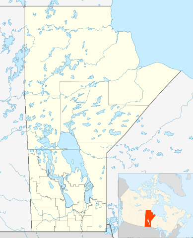
Quadratische Plattkarte, N-S-Streckung 170 %. Geographische Begrenzung der Karte:
Equirectangular projection, N/S stretching 170 %. Geographic limits of the map:
|
| දිනය | |
| මූලාශ්රය | ස්වයං නිර්මාණයකි, File:Canada_Manitoba_location_map.svg by NordNordWest |
| කර්තෘ | Hanhil 17:29, 24 September 2009 (UTC) |
| අවසරය (මෙම ගොනුව නැවත භාවිතා කරමින්) |
මෙම කෘතියෙහි හිමිකම් අයිතීන් දරන්නා වන මම,පහත වරපත යටතේ එය ප්රකාශයට පත් කරමි: මෙම ගොනුව ක්රියේටිව් කොමන්ස් Attribution-Share Alike 3.0 Unported වරපත යටතේ අවසර ලබා ඇත.
|
| SVG genesis |
ගොනු ඉතිහාසය
එම අවස්ථාවෙහිදී ගොනුව පැවැති ආකාරය නැරඹීමට දිනය/වේලාව මත ක්ලික් කරන්න.
| දිනය/වේලාව | කුඩා-රූපය | මාන | පරිශීලක | පරිකථනය | |
|---|---|---|---|---|---|
| වත්මන් | 07:31, 3 පෙබරවාරි 2019 | | 1,512 × 1,864 (599 කි.බ.) | JoKalliauer | valid id-names |
| 17:29, 24 සැප්තැම්බර් 2009 |  | 1,512 × 1,864 (906 කි.බ.) | Hanhil | {{Information |Description= {{de|Positionskarte von Manitoba, Kanada}} Quadratische Plattkarte, N-S-Streckung 170 %. Geographische Begrenzung der Karte: * N: 60.3° N * S: 48.7° N * W: 104.0° W * O: 88.0° W {{en|Location |
ගොනු භාවිතය
පහත දැක්වෙන පිටු 3 ක් විසින් මෙම ගොනුව භාවිතා කෙරෙයි:
ගෝලීය ගොනු භාවිතය
පහත දැක්වෙන අනෙකුත් විකියන් මගින් මෙම ගොනුව භාවිතා කරයි:
- ar.wikipedia.org හි භාවිතය
- azb.wikipedia.org හි භාවිතය
- ba.wikipedia.org හි භාවිතය
- bg.wikipedia.org හි භාවිතය
- ca.wikipedia.org හි භාවිතය
- ceb.wikipedia.org හි භාවිතය
- en.wikipedia.org හි භාවිතය
- Gilbert Plains
- Neelin
- Cree
- The Pas
- Fort Garry
- Brandon, Manitoba
- Flin Flon
- Churchill, Manitoba
- Grunthal, Manitoba
- Lynn Lake
- International Peace Garden
- Birtle, Manitoba
- Portage la Prairie
- Dauphin, Manitoba
- Roblin, Manitoba
- Dominion City
- Manitou, Manitoba
- Forrest, Manitoba
- Thompson, Manitoba
- Steinbach, Manitoba
- Lower Fort Garry
- Deloraine, Manitoba
- Winnipegosis
- Sainte Rose du Lac
- Gunton, Manitoba
- Pisew Falls Provincial Park
- Hamiota, Manitoba
- CFB Shilo
- Winkler, Manitoba
- Boissevain, Manitoba
- Cranberry Portage
- Selkirk, Manitoba
- Morden, Manitoba
- Clearwater, Manitoba
- Souris, Manitoba
- Niverville, Manitoba
- Bakers Narrows
- Dugald, Manitoba
- Swan River, Manitoba
මෙම ගොනුවේ තවත් ගෝලීය භාවිත බලන්න.