
ගොනුව:Canada Manitoba location map.svg

Size of this PNG preview of this SVG file: 486 × 599 පික්සල. අනෙකුත් විභේදනයන්: 195 × 240 පික්සල | 389 × 480 පික්සල | 623 × 768 පික්සල | 831 × 1,024 පික්සල | 1,661 × 2,048 පික්සල | 1,512 × 1,864 පික්සල.
මුල් ගොනුව (SVG ගොනුව, නාමමාත්රිකව 1,512 × 1,864 පික්සල්, ගොනු විශාලත්වය: 809 කි.බ.)
සාරාංශය
| විස්තරය |
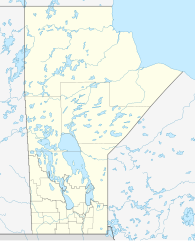
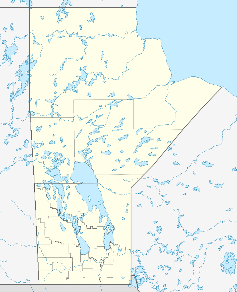
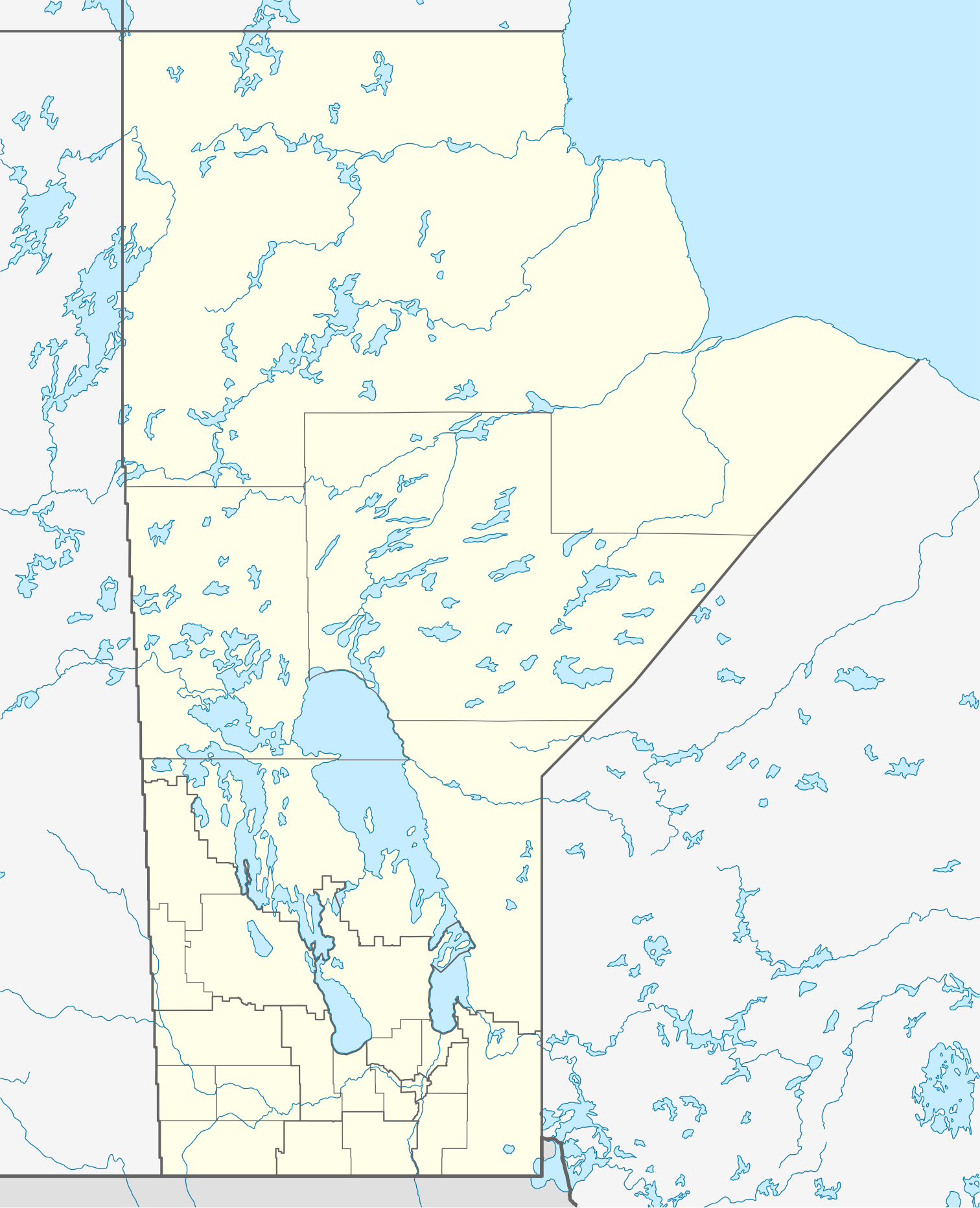
Quadratische Plattkarte, N-S-Streckung 170 %. Geographische Begrenzung der Karte:
Equirectangular projection, N/S stretching 170 %. Geographic limits of the map:
|
| දිනය | |
| මූලාශ්රය |
ස්වයං නිර්මාණයකි, using
|
| කර්තෘ | NordNordWest |
| අවසරය (මෙම ගොනුව නැවත භාවිතා කරමින්) |
මෙම කෘතියෙහි හිමිකම් අයිතීන් දරන්නා වන මම,පහත වරපත යටතේ එය ප්රකාශයට පත් කරමි: මෙම ගොනුව ක්රියේටිව් කොමන්ස් Attribution-Share Alike 3.0 Unported වරපත යටතේ අවසර ලබා ඇත.
|
| අනෙකුත් අනුවාදයන් |
Derivative works of this file:
|


|
This map has been made or improved in the German Kartenwerkstatt (Map Lab). You can propose maps to improve as well.
|
ගොනු ඉතිහාසය
එම අවස්ථාවෙහිදී ගොනුව පැවැති ආකාරය නැරඹීමට දිනය/වේලාව මත ක්ලික් කරන්න.
| දිනය/වේලාව | කුඩා-රූපය | මාන | පරිශීලක | පරිකථනය | |
|---|---|---|---|---|---|
| වත්මන් | 11:57, 28 අගෝස්තු 2009 | | 1,512 × 1,864 (809 කි.බ.) | NordNordWest | {{int:filedesc}} {{Information |Description= {{de|Positionskarte von Manitoba, Kanada}} Quadratische Plattkarte, N-S-Streckung 170 %. Geographische Begrenzung der Karte: * N: 60.3° N * S: 48.7° N * W: 104.0° W * O: 88.0� |
ගොනු භාවිතය
පහත දැක්වෙන පිටු 3 ක් විසින් මෙම ගොනුව භාවිතා කෙරෙයි:
ගෝලීය ගොනු භාවිතය
පහත දැක්වෙන අනෙකුත් විකියන් මගින් මෙම ගොනුව භාවිතා කරයි:
- ar.wikipedia.org හි භාවිතය
- ba.wikipedia.org හි භාවිතය
- ca.wikipedia.org හි භාවිතය
- cs.wikipedia.org හි භාවිතය
- de.wikipedia.org හි භාවිතය
- Winnipeg
- Eishockey-Weltmeisterschaft der U20-Junioren 1999
- Churchill (Manitoba)
- Canada Life Centre
- Winnipegosis (Manitoba)
- Winkler (Manitoba)
- Altona (Manitoba)
- Reykjavik (Manitoba)
- Thompson (Manitoba)
- Arborg (Manitoba)
- Ashern (Manitoba)
- Steinbach (Manitoba)
- Dauphin (Manitoba)
- Selkirk (Manitoba)
- Gimli (Manitoba)
- Brandon (Manitoba)
- Lower Fort Garry
- Vorlage:Positionskarte Kanada Manitoba
- St. François Xavier
- Morden (Manitoba)
- Beausejour
- Grand Rapids (Manitoba)
- Portage la Prairie
- Carberry
- Minnedosa
- Wikipedia:Kartenwerkstatt/Positionskarten/Nordamerika
- York Factory (Manitoba)
- Norway House
- Painted Stone Portage
- Saint-Boniface (Manitoba)
- Flin Flon Airport
- Fort Prince of Wales
- Winnipeg Arena
- Winnipeg Beach
- Boissevain (Manitoba)
- Polo Park
- Emerson (Manitoba)
- Swan River (Manitoba)
- IG Field
මෙම ගොනුවේ තවත් ගෝලීය භාවිත බලන්න.