
ගොනුව:Wiltshire UK relief location map.jpg
මෙම පෙරදසුනෙහි විශාලත්වය: 492 × 600 පික්සල. අනෙකුත් විභේදනයන්: 197 × 240 පික්සල | 394 × 480 පික්සල | 630 × 768 පික්සල | 840 × 1,024 පික්සල | 2,005 × 2,444 පික්සල.
මුල් ගොනුව (2,005 × 2,444 පික්සල, ගොනු විශාලත්වය: 508 කි.බ., MIME ශෛලිය: image/jpeg)
| විස්තරය |
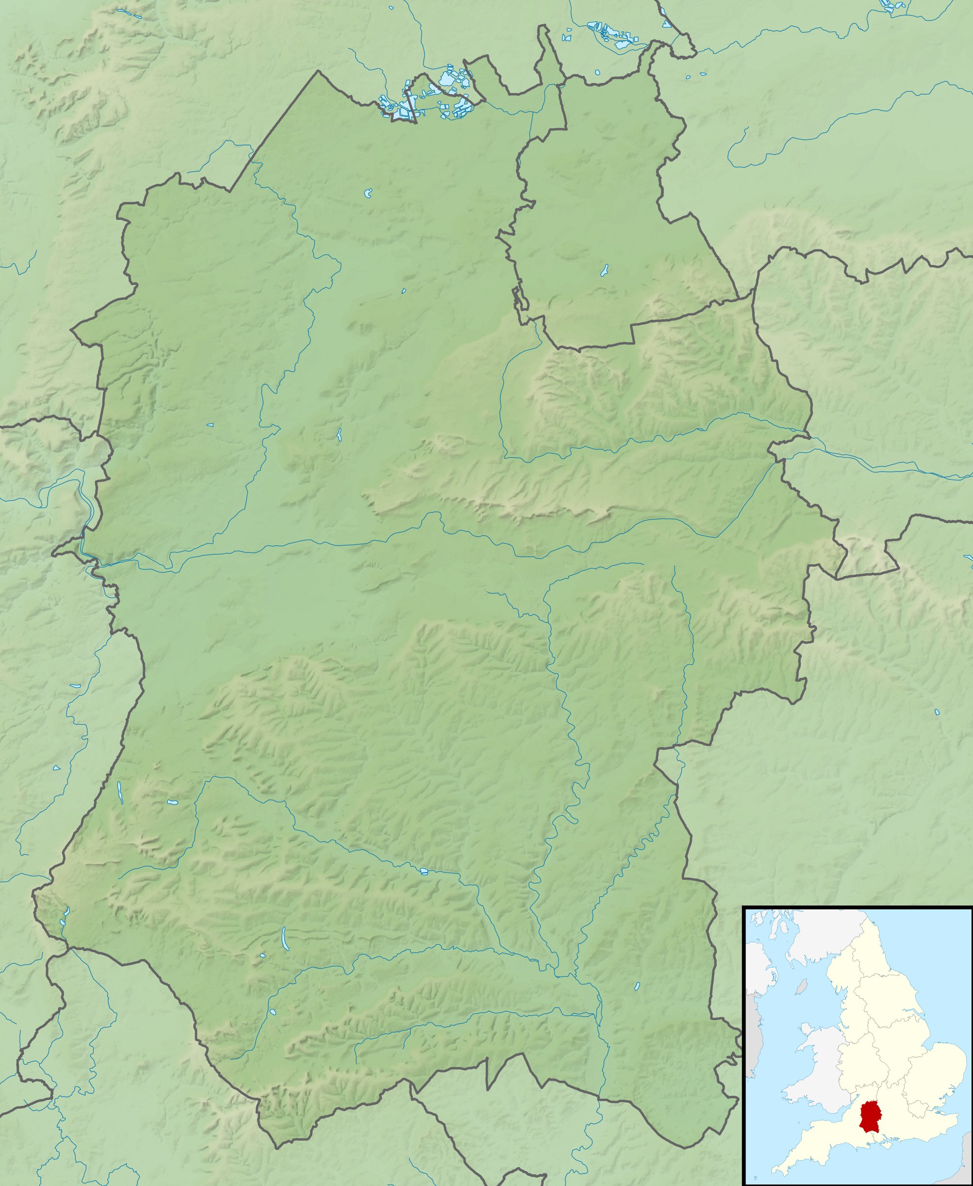
Relief map of Wiltshire, UK. Equirectangular map projection on WGS 84 datum, with N/S stretched 160% Geographic limits:
|
| දිනය | |
| මූලාශ්රය |
|
| කර්තෘ | Nilfanion, created using Ordnance Survey data |
| අවසරය (මෙම ගොනුව නැවත භාවිතා කරමින්) |
මෙම ගොනුව ක්රියේටිව් කොමන්ස් Attribution-Share Alike 3.0 Unported වරපත යටතේ අවසර ලබා ඇත. Attribution: Contains Ordnance Survey data © Crown copyright and database right
|
| අනෙකුත් අනුවාදයන් | File:Wiltshire UK district map (blank).svg - Blank map |
.svg)
ගොනු ඉතිහාසය
එම අවස්ථාවෙහිදී ගොනුව පැවැති ආකාරය නැරඹීමට දිනය/වේලාව මත ක්ලික් කරන්න.
| දිනය/වේලාව | කුඩා-රූපය | මාන | පරිශීලක | පරිකථනය | |
|---|---|---|---|---|---|
| වත්මන් | 02:03, 29 නොවැම්බර් 2011 | | 2,005 × 2,444 (508 කි.බ.) | Nilfanion | {{Information |Description=Relief map of Wiltshire, UK. Equirectangular map projection on WGS 84 datum, with N/S stretched 160% Geographic limits: *West: 2.40W *East: 1.35W *North: 51.72N *South: 50.92N |Source=[[w:Ordnance Survey|Ordnan |
ගොනු භාවිතය
පහත දැක්වෙන පිටු 3 ක් විසින් මෙම ගොනුව භාවිතා කෙරෙයි:
ගෝලීය ගොනු භාවිතය
පහත දැක්වෙන අනෙකුත් විකියන් මගින් මෙම ගොනුව භාවිතා කරයි:
- ar.wikipedia.org හි භාවිතය
- bg.wikipedia.org හි භාවිතය
- bh.wikipedia.org හි භාවිතය
- ceb.wikipedia.org හි භාවිතය
- cy.wikipedia.org හි භාවිතය
- en.wikipedia.org හි භාවිතය
- River Avon, Hampshire
- Battle of Roundway Down
- Avebury
- Stourhead
- Windmill Hill, Avebury
- The Sanctuary
- Kennet Avenue
- Stonehenge Landscape
- Fonthill Lake
- Shearwater (lake)
- Milk Hill
- Cunetio
- Win Green Down
- Wilton Water
- White Barrow
- Vespasian's Camp
- Battle of Aldbourne Chase
- Bluestonehenge
- Overton Hill
- Challenge Tour Championship
- Martinsell Hill
- River Sem
- Module:Location map/data/United Kingdom Wiltshire
- Module:Location map/data/Wiltshire
- Module:Location map/data/United Kingdom Wiltshire/doc
- Poisoning of Sergei and Yulia Skripal
- Roundway Park
- Siege of Wardour Castle
- Alvediston Manor
- Bath House at Corsham Court
- Moat House, Britford
- es.wikipedia.org හි භාවිතය
- fa.wikipedia.org හි භාවිතය
මෙම ගොනුවේ තවත් ගෝලීය භාවිත බලන්න.