
ගොනුව:Uttar Pradesh locator map.svg

Size of this PNG preview of this SVG file: 615 × 599 පික්සල. අනෙකුත් විභේදනයන්: 246 × 240 පික්සල | 492 × 480 පික්සල | 788 × 768 පික්සල | 1,051 × 1,024 පික්සල | 2,101 × 2,048 පික්සල | 909 × 886 පික්සල.
මුල් ගොනුව (SVG ගොනුව, නාමමාත්රිකව 909 × 886 පික්සල්, ගොනු විශාලත්වය: 838 කි.බ.)
සාරාංශය
| විස්තරය |
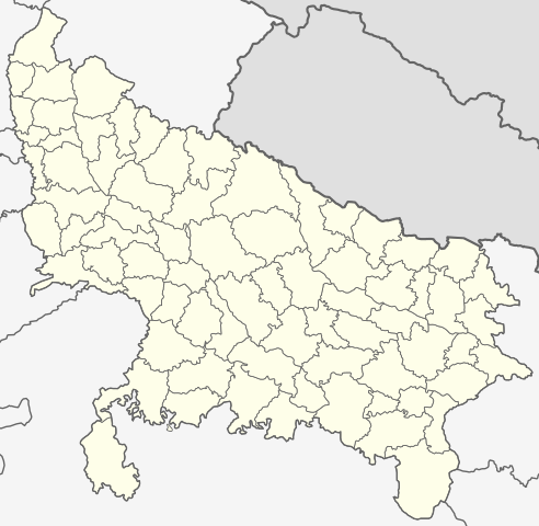
English: This map has been created by Faiz Haider, it is based on Map of Uttar Pradesh on National Portal of India. Equirectangular projection. Geographic limits of the map: top=31.00, bottom=23.50, left=76.60, right=85.00. |
| දිනය | 10 පෙබරවාරි 2009 (original upload date) |
| මූලාශ්රය | Transferred from en.wikipedia to Commons by Hanhil using CommonsHelper. |
| කර්තෘ | Faizhaider at ඉංග්රීසි විකිපීඩියා |
බලපත්රීකරණය
| මෙම කාර්යය එහි කර්තෘ, Faizhaider at ඉංග්රීසි විකිපීඩියා, විසින් public domain වෙත නිදහස් කර ඇත. එය ලෝක ව්යාප්තව අදාළ වේ. සමහර රටවල මෙය අනීතික විය හැකිය. එසේ වුවහොත්; නීතියෙන් යම් කොන්දේසියක් පනවා ඇති නම් හැරෙන්නට කිසිදු කොන්දේසියකින් තොරව ඕනෑම ප්රයෝජනයක් සඳහා මෙම කාර්යය භාවිතා කිරීමේ අයිතිය Faizhaider විසින් ලබා දෙයි. |
ප්රකෘති පැටවුම් ලොගය
The original description page was here. All following user names refer to en.wikipedia.
- 2009-02-10 08:49 Faizhaider 2400×2515× (140024 bytes) This map has been created by [[User:Faizhaider|me]], it is based on [http://india.gov.in/maps/up.php Map of Uttar Pradesh on National Portal of India].
ගොනු ඉතිහාසය
එම අවස්ථාවෙහිදී ගොනුව පැවැති ආකාරය නැරඹීමට දිනය/වේලාව මත ක්ලික් කරන්න.
| දිනය/වේලාව | කුඩා-රූපය | මාන | පරිශීලක | පරිකථනය | |
|---|---|---|---|---|---|
| වත්මන් | 03:11, 8 ජනවාරි 2021 | | 909 × 886 (838 කි.බ.) | C1MM | Updated districts, made more accurate boundaries |
| 23:32, 6 මාර්තු 2011 |  | 2,400 × 2,515 (137 කි.බ.) | Plasticspork | Use more neutral colouring | |
| 21:34, 5 නොවැම්බර් 2009 |  | 2,400 × 2,515 (137 කි.බ.) | File Upload Bot (Magnus Manske) | {{BotMoveToCommons|en.wikipedia|year={{subst:CURRENTYEAR}}|month={{subst:CURRENTMONTHNAME}}|day={{subst:CURRENTDAY}}}} {{Information |Description={{en|This map has been created by Faiz Haider, it is based on [http://india.gov.in/m |
ගොනු භාවිතය
පහත දැක්වෙන පිටු 3 ක් විසින් මෙම ගොනුව භාවිතා කෙරෙයි:
ගෝලීය ගොනු භාවිතය
පහත දැක්වෙන අනෙකුත් විකියන් මගින් මෙම ගොනුව භාවිතා කරයි:
- awa.wikipedia.org හි භාවිතය
- bh.wikipedia.org හි භාවිතය
- उत्तर प्रदेश
- गोरखपुर जिला
- गाजीपुर जिला
- रसड़ा
- गोरखपुर
- कुशीनगर जिला
- टेम्पलेट:उत्तर प्रदेश
- उत्तर प्रदेश के मंडल सभ के लिस्ट
- औंड़िहार
- रेवती, बलियाँ जिला
- चितबड़ागाँव
- बेल्थरा रोड
- गड़वार
- नगरा
- फेफना
- सहतवार
- उत्तर प्रदेश के जिला सभ के लिस्ट
- टेम्पलेट:Uttar Pradesh topics
- उत्तर प्रदेश पुलिस
- आजमगढ़ मंडल
- गोरखपुर मंडल
- इलाहाबाद मंडल
- वाराणसी मंडल
- जनसंख्या अनुसार उत्तर प्रदेश के शहरन के लिस्ट
- बस्ती मंडल
- आगरा मंडल
- अलीगढ़ मंडल
- ceb.wikipedia.org හි භාවිතය
- en.wikipedia.org හි භාවිතය
- Uttar Pradesh
- List of districts of Uttar Pradesh
- Urdu literature
- List of chief ministers of Uttar Pradesh
- Administrative divisions of Uttar Pradesh
- User talk:Planemad/Infobox Indian Landmark
- Template:Uttar Pradesh topics
- User:Faizhaider/gallery
- Noida ATS Shootout
- Pratapgarh stampede
- Chak Gharpur
- Climate of Uttar Pradesh
- List of cities in Uttar Pradesh by population
- List of urban agglomerations in Uttar Pradesh
- Uttar Pradesh Tourism
- Clean UP, Green UP
- List of urban local bodies in Uttar Pradesh
- fa.wikipedia.org හි භාවිතය
මෙම ගොනුවේ තවත් ගෝලීය භාවිත බලන්න.