
ගොනුව:Syria-Iraq-Lebanon location map.svg

Size of this PNG preview of this SVG file: 785 × 600 පික්සල. අනෙකුත් විභේදනයන්: 314 × 240 පික්සල | 628 × 480 පික්සල | 1,005 × 768 පික්සල | 1,280 × 978 පික්සල | 2,560 × 1,957 පික්සල | 4,485 × 3,428 පික්සල.
මුල් ගොනුව (SVG ගොනුව, නාමමාත්රිකව 4,485 × 3,428 පික්සල්, ගොනු විශාලත්වය: 972 කි.බ.)
සාරාංශය
| විස්තරය |
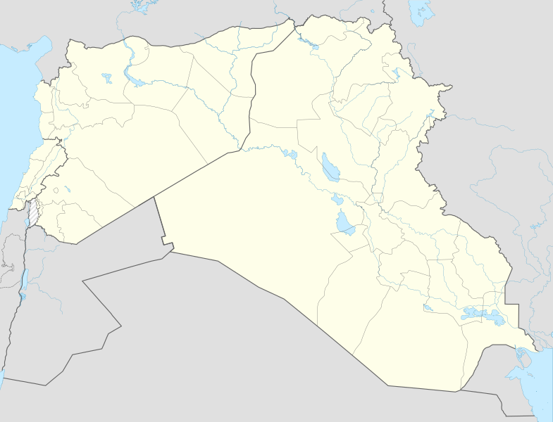
English: Location map of Syria, Iraq and Lebanon. De facto situation.
Equirectangular projection, N/S stretching 115 %. Geographic limits of the map: N: 37.6° N S: 28.4° N W: 34.9° E E: 48.9° EDeutsch: Positionskarte von Syrien und Irak und Libanon. De-facto-Situation.
Quadratische Plattkarte, N-S-Streckung 115 %. Geographische Begrenzung der Karte: N: 37.6° N S: 28.4° N W: 34.9° O O: 48.9° O |
| දිනය | |
| මූලාශ්රය | File:Syria-Iraq location map.svg |
| කර්තෘ | NordNordWest, Spesh531, John Smith The Gamer |
බලපත්රීකරණය
This file is licensed under the Creative Commons Attribution-Share Alike 4.0 International license.
- ඔබ නිදහස්:
- බෙදාහදා ගැනීමට – කාර්යය පිටපත් කිරීමට,බෙදා හැරීමට සහ සම්ප්රේෂණය කිරීමට
- නැවත සංකලනය කිරීමට – කාර්යයට අනුවර්තනය වීමට
- පහත කොන්දේසිවලට යටත්ව:
- attribution – වරපත වෙත බැඳියක්ද සපයමින් ඔබ විසින් සුදුසු කර්තෘභාරය ප්රදානය කල යුතු අතර, කිසියම් වෙනස්වීම් සිදුකලේ නම් එයද සඳහන් කල යුතු වෙයි. ඕනෑම සුදුසු ආකාරයට මෙය ඔබ විසින් සිදුකල හැකි මුත්, වරපත්දායකයා විසින් ඔබ හෝ ඔබගේ භාවිතය හෝ පිටසන් කරන බවට ඇඟවෙන ලෙසින් එය සිදු නොකල යුතු වෙයි.
- share alike – මෙම විෂය කාරණා භාවිතා කොට නැවත සංකලනය, ප්රතියෝජනය හෝ වැඩිදියුණුව කලේ නම්, ඉන්පසු ඔබගේ දායකත්වය ඔබ විසින් බෙදාහැරිය යුත්තේ මුල් වරපත හා සමාන හෝ සංගතික හෝ වරපතක් භාවිතා කරමිනි.
ගොනු ඉතිහාසය
එම අවස්ථාවෙහිදී ගොනුව පැවැති ආකාරය නැරඹීමට දිනය/වේලාව මත ක්ලික් කරන්න.
| දිනය/වේලාව | කුඩා-රූපය | මාන | පරිශීලක | පරිකථනය | |
|---|---|---|---|---|---|
| වත්මන් | 14:59, 8 නොවැම්බර් 2017 | | 4,485 × 3,428 (972 කි.බ.) | Rob984 | minor: corrected rivers per location scheme, fixed missing segments in Jordan-Israel border. |
| 16:06, 17 ජූනි 2015 |  | 4,485 × 3,428 (968 කි.බ.) | Spesh531 | fixed islands in persian gulf | |
| 15:55, 17 ජූනි 2015 |  | 4,485 × 3,428 (969 කි.බ.) | Spesh531 | adding sublevel lebanon borders and cleaned up borders | |
| 19:55, 28 දෙසැම්බර් 2014 |  | 4,485 × 3,428 (1.04 මෙ.බ.) | Banak | User created page with UploadWizard |
ගොනු භාවිතය
පහත දැක්වෙන පිටු 2 ක් විසින් මෙම ගොනුව භාවිතා කෙරෙයි:
ගෝලීය ගොනු භාවිතය
පහත දැක්වෙන අනෙකුත් විකියන් මගින් මෙම ගොනුව භාවිතා කරයි:
- ar.wikipedia.org හි භාවිතය
- en.wikipedia.org හි භාවිතය
- Module:Location map/data/Syria-Iraq-Lebanon
- Module:Location map/data/Syria-Iraq-Lebanon/doc
- Template:Syrian, Iraqi, and Lebanese insurgencies detailed map
- Module:Syrian, Iraqi, and Lebanese insurgencies detailed map/doc
- Assault on Rutbah Fort (1941)
- User:Fallen.cze/sandbox
- User:Edisonabcd/sandbox/Syrian, Iraqi, and Lebanese insurgencies detailed map
- ko.wikipedia.org හි භාවිතය
- ur.wikipedia.org හි භාවිතය
- zh.wikipedia.org හි භාවිතය