
ගොනුව:Society Hill Pedestrian Greenway Map.png

මෙම පෙරදසුනෙහි විශාලත්වය: 717 × 599 පික්සල. අනෙකුත් විභේදනයන්: 287 × 240 පික්සල | 574 × 480 පික්සල | 919 × 768 පික්සල | 1,256 × 1,050 පික්සල.
මුල් ගොනුව (1,256 × 1,050 පික්සල, ගොනු විශාලත්වය: 890 කි.බ., MIME ශෛලිය: image/png)
සාරාංශය
| විස්තරය |
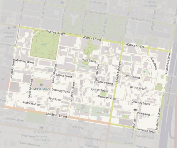
English: Street map of central Philadelphia, Pennsylvania, United States with the Society Hill neighborhood highlighted. This map is a cropped copy of an OpenStreetMap pedestrian map with a grayed out translucent mask frame bordering the boundary streets of Society Hill. |
| දිනය | |
| මූලාශ්රය | OpenStreetMap |
| කර්තෘ | OpenStreetMap contributors |
| අවසරය (මෙම ගොනුව නැවත භාවිතා කරමින්) |
The license requires that you use the credit “© OpenStreetMap contributors” - for more details see OpenStreetMap Copyright and License. |
| අනෙකුත් අනුවාදයන් |
   |
බලපත්රීකරණය
මෙම ගොනුව නිර්මාණශීලී පොදුවූවන් Attribution-Share Alike 2.0 Generic බලපත්රය යටතේ අවසර ලබා ඇත.
- ඔබ නිදහස්:
- බෙදාහදා ගැනීමට – කාර්යය පිටපත් කිරීමට,බෙදා හැරීමට සහ සම්ප්රේෂණය කිරීමට
- නැවත සංකලනය කිරීමට – කාර්යයට අනුවර්තනය වීමට
- පහත කොන්දේසිවලට යටත්ව:
- attribution – වරපත වෙත බැඳියක්ද සපයමින් ඔබ විසින් සුදුසු කර්තෘභාරය ප්රදානය කල යුතු අතර, කිසියම් වෙනස්වීම් සිදුකලේ නම් එයද සඳහන් කල යුතු වෙයි. ඕනෑම සුදුසු ආකාරයට මෙය ඔබ විසින් සිදුකල හැකි මුත්, වරපත්දායකයා විසින් ඔබ හෝ ඔබගේ භාවිතය හෝ පිටසන් කරන බවට ඇඟවෙන ලෙසින් එය සිදු නොකල යුතු වෙයි.
- share alike – මෙම විෂය කාරණා භාවිතා කොට නැවත සංකලනය, ප්රතියෝජනය හෝ වැඩිදියුණුව කලේ නම්, ඉන්පසු ඔබගේ දායකත්වය ඔබ විසින් බෙදාහැරිය යුත්තේ මුල් වරපත හා සමාන හෝ සංගතික හෝ වරපතක් භාවිතා කරමිනි.
| Annotations | This image is annotated: View the annotations at Commons |
ගොනු ඉතිහාසය
එම අවස්ථාවෙහිදී ගොනුව පැවැති ආකාරය නැරඹීමට දිනය/වේලාව මත ක්ලික් කරන්න.
| දිනය/වේලාව | කුඩා-රූපය | මාන | පරිශීලක | පරිකථනය | |
|---|---|---|---|---|---|
| වත්මන් | 18:05, 19 ඔක්තෝබර් 2017 | | 1,256 × 1,050 (890 කි.බ.) | PHILA19106 | User created page with UploadWizard |
ගොනු භාවිතය
පහත දැක්වෙන පිටු 2 ක් විසින් මෙම ගොනුව භාවිතා කෙරෙයි:
ගෝලීය ගොනු භාවිතය
පහත දැක්වෙන අනෙකුත් විකියන් මගින් මෙම ගොනුව භාවිතා කරයි: