
ගොනුව:Sheffield outline map with UK.svg

Size of this PNG preview of this SVG file: 612 × 437 පික්සල. අනෙකුත් විභේදනයන්: 320 × 228 පික්සල | 640 × 457 පික්සල | 1,024 × 731 පික්සල | 1,280 × 914 පික්සල | 2,560 × 1,828 පික්සල.
මුල් ගොනුව (SVG ගොනුව, නාමමාත්රිකව 612 × 437 පික්සල්, ගොනු විශාලත්වය: 808 කි.බ.)
සාරාංශය
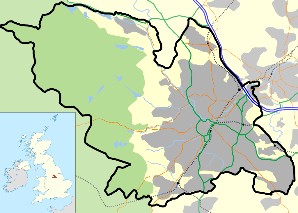
| විස්තරය | Sheffield outline, showing motorways and urban areas. |
| දිනය | |
| මූලාශ්රය | Mapping is derived from Open Street Map data, which is licensed under a creative commons attribution sharealike licence. UK outline is File:Uk outline map.png, which is licensed under the GFDL. |
| කර්තෘ | JeremyA |
| අවසරය (මෙම ගොනුව නැවත භාවිතා කරමින්) |
Permission is granted for reuse only under the terms of the below licence. |
| SVG genesis |
This vector image includes elements that have been taken or adapted from this file:
බලපත්රීකරණය
මෙම කෘතියෙහි හිමිකම් අයිතීන් දරන්නා වන මම,පහත වරපත යටතේ එය ප්රකාශයට පත් කරමි:
මෙම ගොනුව නිර්මාණශීලී පොදුවූවන් Attribution-Share Alike 2.0 Generic බලපත්රය යටතේ අවසර ලබා ඇත.
- ඔබ නිදහස්:
- බෙදාහදා ගැනීමට – කාර්යය පිටපත් කිරීමට,බෙදා හැරීමට සහ සම්ප්රේෂණය කිරීමට
- නැවත සංකලනය කිරීමට – කාර්යයට අනුවර්තනය වීමට
- පහත කොන්දේසිවලට යටත්ව:
- attribution – වරපත වෙත බැඳියක්ද සපයමින් ඔබ විසින් සුදුසු කර්තෘභාරය ප්රදානය කල යුතු අතර, කිසියම් වෙනස්වීම් සිදුකලේ නම් එයද සඳහන් කල යුතු වෙයි. ඕනෑම සුදුසු ආකාරයට මෙය ඔබ විසින් සිදුකල හැකි මුත්, වරපත්දායකයා විසින් ඔබ හෝ ඔබගේ භාවිතය හෝ පිටසන් කරන බවට ඇඟවෙන ලෙසින් එය සිදු නොකල යුතු වෙයි.
- share alike – මෙම විෂය කාරණා භාවිතා කොට නැවත සංකලනය, ප්රතියෝජනය හෝ වැඩිදියුණුව කලේ නම්, ඉන්පසු ඔබගේ දායකත්වය ඔබ විසින් බෙදාහැරිය යුත්තේ මුල් වරපත හා සමාන හෝ සංගතික හෝ වරපතක් භාවිතා කරමිනි.
ගොනු ඉතිහාසය
එම අවස්ථාවෙහිදී ගොනුව පැවැති ආකාරය නැරඹීමට දිනය/වේලාව මත ක්ලික් කරන්න.
| දිනය/වේලාව | කුඩා-රූපය | මාන | පරිශීලක | පරිකථනය | |
|---|---|---|---|---|---|
| වත්මන් | 15:37, 7 ඔක්තෝබර් 2012 | | 612 × 437 (808 කි.බ.) | Cwbm (commons) | replaced raster graphic with vector file |
| 22:35, 29 අප්රේල් 2007 |  | 612 × 437 (135 කි.බ.) | JeremyA |
ගොනු භාවිතය
පහත දැක්වෙන පිටු 3 ක් විසින් මෙම ගොනුව භාවිතා කෙරෙයි:
ගෝලීය ගොනු භාවිතය
පහත දැක්වෙන අනෙකුත් විකියන් මගින් මෙම ගොනුව භාවිතා කරයි:
- ar.wikipedia.org හි භාවිතය
- ceb.wikipedia.org හි භාවිතය
- el.wikipedia.org හි භාවිතය
- en.wikipedia.org හි භාවිතය
- Hillsborough disaster
- Hillsborough Stadium
- Attercliffe
- Hallamshire
- Hillsborough (ward)
- High Bradfield
- Low Bradfield
- Sheffield Cathedral
- Great Sheffield Flood
- Cathedral Church of St Marie, Sheffield
- Bramall Lane
- Crosspool
- Wharncliffe Side
- Whirlow
- Ranmoor
- Gleadless
- Wadsley Bridge
- Loxley, South Yorkshire
- Pitsmoor
- Deepcar
- Oughtibridge
- East Ecclesfield
- Old Queen's Head
- Sheffield City Airport
- Chapeltown, South Yorkshire
- Listed buildings in Sheffield
- Transport in Sheffield
- Wincobank (hill fort)
- Steel City derby
- Site Gallery
- Victoria Quays
- Drama Studio, University of Sheffield
- St Mary's Church, Bramall Lane
- St George's Church, Portobello
- Norton Lees
- Millhouses and Ecclesall railway station
- High Green
- Grenoside
- Sheffield City Centre
- Millhouses Park
- Dale Dike Reservoir
- Module:Location map/data/United Kingdom Sheffield/doc
- Madina Mosque, Sheffield
- West End, Sheffield
- Bolsterstone
මෙම ගොනුවේ තවත් ගෝලීය භාවිත බලන්න.