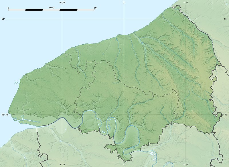
ගොනුව:Seine-Maritime department relief location map.jpg
Appearance

මෙම පෙරදසුනෙහි විශාලත්වය: 800 × 584 පික්සල. අනෙකුත් විභේදනයන්: 320 × 234 පික්සල | 640 × 467 පික්සල | 1,024 × 748 පික්සල | 1,331 × 972 පික්සල.
මුල් ගොනුව (1,331 × 972 පික්සල, ගොනු විශාලත්වය: 211 කි.බ., MIME ශෛලිය: image/jpeg)
ගොනු ඉතිහාසය
එම අවස්ථාවෙහිදී ගොනුව පැවැති ආකාරය නැරඹීමට දිනය/වේලාව මත ක්ලික් කරන්න.
| දිනය/වේලාව | කුඩා-රූපය | මාන | පරිශීලක | පරිකථනය | |
|---|---|---|---|---|---|
| වත්මන් | 21:18, 18 ජූලි 2010 |  | 1,331 × 972 (211 කි.බ.) | Sting | Color profile |
| 17:31, 30 ජූනි 2010 |  | 1,331 × 972 (218 කි.බ.) | Sting | == {{int:filedesc}} == {{Location|49|39|45|N|00|55|30|E|scale:400000}} <br/> {{Information |Description={{en|Blank physical map of the department of Seine-Maritime, France, for geo-locati |
ගොනු භාවිතය
පහත දැක්වෙන පිටු 2 ක් විසින් මෙම ගොනුව භාවිතා කෙරෙයි:
ගෝලීය ගොනු භාවිතය
පහත දැක්වෙන අනෙකුත් විකියන් මගින් මෙම ගොනුව භාවිතා කරයි:
- als.wikipedia.org හි භාවිතය
- cs.wikipedia.org හි භාවිතය
- de.wikipedia.org හි භාවිතය
- de.wikivoyage.org හි භාවිතය
- en.wikipedia.org හි භාවිතය
- eo.wikipedia.org හි භාවිතය
- Havro
- Rueno
- Fécamp
- Dieppe
- Le Grand-Quevilly
- Forges-les-Eaux
- Saint-Saëns
- Kverko de Allouville
- Clères
- Ŝablono:Situo sur mapo Francio Seine-Maritime
- Tram-metroo de Rouen
- Lillebonne
- Saint-Étienne-du-Rouvray
- Le Tréport
- Yvetot
- Rolleville
- Montivilliers
- Saint-Aubin-lès-Elbeuf
- Elbeuf
- Oissel
- Serqueux (Seine-Maritime)
- Bréauté
- Beuzeville-la-Grenier
- Sotteville-lès-Rouen
- Varengeville-sur-Mer
- Sainte-Marguerite-sur-Mer
- Aumale (Seine-Maritime)
- Eu (Seine-Maritime)
- Amfreville-la-Mi-Voie
- Arques-la-Bataille
- Aubermesnil-Beaumais
- Belbeuf
- Bihorel
- Bois-Guillaume
- Bonsecours (Seine-Maritime)
- La Bouille
මෙම ගොනුවේ තවත් ගෝලීය භාවිත බලන්න.

