
ගොනුව:Relief map of USA Michigan.png
මෙම පෙරදසුනෙහි විශාලත්වය: 533 × 600 පික්සල. අනෙකුත් විභේදනයන්: 213 × 240 පික්සල | 426 × 480 පික්සල | 682 × 768 පික්සල | 1,066 × 1,200 පික්සල.
මුල් ගොනුව (1,066 × 1,200 පික්සල, ගොනු විශාලත්වය: 1,000 කි.බ., MIME ශෛලිය: image/png)
සාරාංශය
| විස්තරය |
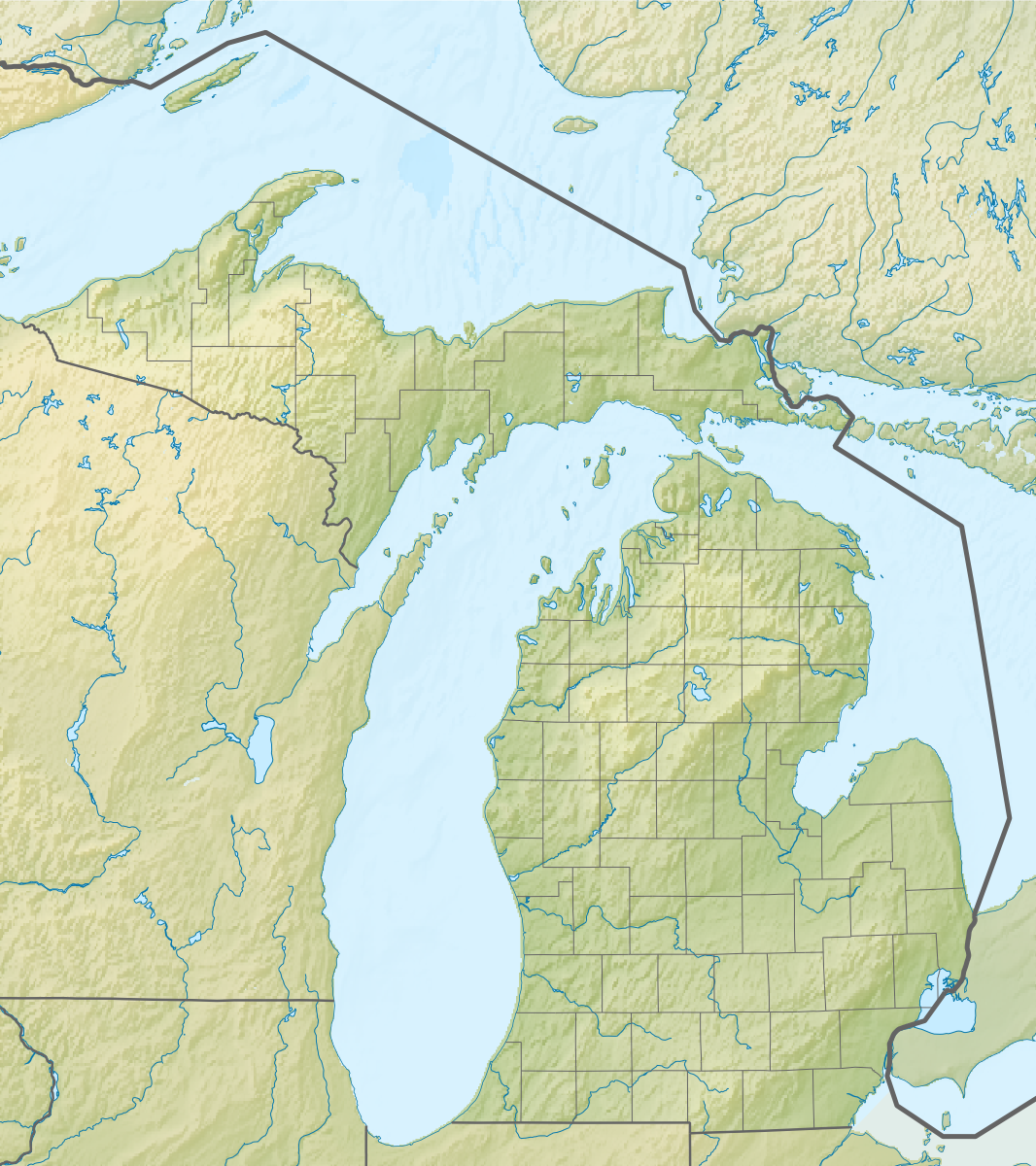
Русский: Физическая карта штата Мичиган (США).
Equirectangular projection, N/S stretching 140.0 %. Geographic limits of the map:
|
| දිනය | |
| මූලාශ්රය |
|
| කර්තෘ | Nzeemin |
| අනෙකුත් අනුවාදයන් |
|

බලපත්රීකරණය
මෙම කෘතියෙහි හිමිකම් අයිතීන් දරන්නා වන මම,පහත වරපත යටතේ එය ප්රකාශයට පත් කරමි:
මෙම ගොනුව ක්රියේටිව් කොමන්ස් Attribution-Share Alike 3.0 Unported වරපත යටතේ අවසර ලබා ඇත.
- ඔබ නිදහස්:
- බෙදාහදා ගැනීමට – කාර්යය පිටපත් කිරීමට,බෙදා හැරීමට සහ සම්ප්රේෂණය කිරීමට
- නැවත සංකලනය කිරීමට – කාර්යයට අනුවර්තනය වීමට
- පහත කොන්දේසිවලට යටත්ව:
- attribution – වරපත වෙත බැඳියක්ද සපයමින් ඔබ විසින් සුදුසු කර්තෘභාරය ප්රදානය කල යුතු අතර, කිසියම් වෙනස්වීම් සිදුකලේ නම් එයද සඳහන් කල යුතු වෙයි. ඕනෑම සුදුසු ආකාරයට මෙය ඔබ විසින් සිදුකල හැකි මුත්, වරපත්දායකයා විසින් ඔබ හෝ ඔබගේ භාවිතය හෝ පිටසන් කරන බවට ඇඟවෙන ලෙසින් එය සිදු නොකල යුතු වෙයි.
- share alike – මෙම විෂය කාරණා භාවිතා කොට නැවත සංකලනය, ප්රතියෝජනය හෝ වැඩිදියුණුව කලේ නම්, ඉන්පසු ඔබගේ දායකත්වය ඔබ විසින් බෙදාහැරිය යුත්තේ මුල් වරපත හා සමාන හෝ සංගතික හෝ වරපතක් භාවිතා කරමිනි.
ගොනු ඉතිහාසය
එම අවස්ථාවෙහිදී ගොනුව පැවැති ආකාරය නැරඹීමට දිනය/වේලාව මත ක්ලික් කරන්න.
| දිනය/වේලාව | කුඩා-රූපය | මාන | පරිශීලක | පරිකථනය | |
|---|---|---|---|---|---|
| වත්මන් | 09:42, 22 නොවැම්බර් 2012 | | 1,066 × 1,200 (1,000 කි.බ.) | Nzeemin | User created page with UploadWizard |
ගොනු භාවිතය
පහත දැක්වෙන පිටු 3 ක් විසින් මෙම ගොනුව භාවිතා කෙරෙයි:
ගෝලීය ගොනු භාවිතය
පහත දැක්වෙන අනෙකුත් විකියන් මගින් මෙම ගොනුව භාවිතා කරයි:
- ar.wikipedia.org හි භාවිතය
- az.wikipedia.org හි භාවිතය
- ba.wikipedia.org හි භාවිතය
- bn.wikipedia.org හි භාවිතය
- ca.wikipedia.org හි භාවිතය
- ceb.wikipedia.org හි භාවිතය
- ce.wikipedia.org හි භාවිතය
- cs.wikipedia.org හි භාවිතය
- de.wikipedia.org හි භාවිතය
- Michigansee
- WEYI-Sendemast
- Isle Royale
- Old Mission Peninsula
- Belle Isle (Detroit)
- Belle Isle (Isle Royale National Park)
- Mackinac Island
- Vorlage:Positionskarte USA Michigan
- Indian Lake State Park (Michigan)
- Alexander Lake (Michigan)
- Warren Dunes State Park
- Hubbard Lake (Michigan)
- Grassy Island (Michigan)
- Beaver Island (Charlevoix County, Michigan)
- Pumpspeicherkraftwerk Ludington
- Round Island (Mackinac County)
- Mount Arvon
- Pogy Lake
- Stony Island (Wayne County, Michigan)
- Drummond Island
- WGRT
- Bois Blanc Island (Huronsee)
- WILS
- North Manitou Island
- South Manitou Island
- WCMU-FM
- Grand Island (Alger County, Michigan)
- Suttons Bay (Bucht)
- Otsego Lake (Michigan)
- de.wikivoyage.org හි භාවිතය
- el.wikipedia.org හි භාවිතය
- en.wikipedia.org හි භාවිතය
මෙම ගොනුවේ තවත් ගෝලීය භාවිත බලන්න.