
ගොනුව:Portugal Madeira location map.svg

Size of this PNG preview of this SVG file: 698 × 599 පික්සල. අනෙකුත් විභේදනයන්: 280 × 240 පික්සල | 559 × 480 පික්සල | 895 × 768 පික්සල | 1,193 × 1,024 පික්සල | 2,386 × 2,048 පික්සල | 1,590 × 1,365 පික්සල.
මුල් ගොනුව (SVG ගොනුව, නාමමාත්රිකව 1,590 × 1,365 පික්සල්, ගොනු විශාලත්වය: 103 කි.බ.)
සාරාංශය
| විස්තරය |
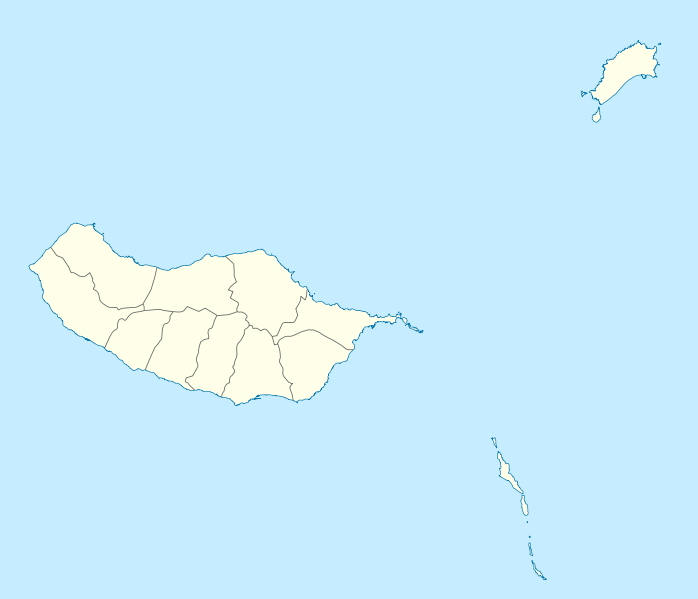
Geographische Begrenzung der Karte:
Geographic limits of the map:
|
||||||||||||
| දිනය | |||||||||||||
| මූලාශ්රය | ස්වයං නිර්මාණයකි | ||||||||||||
| කර්තෘ | NordNordWest | ||||||||||||
| අවසරය (මෙම ගොනුව නැවත භාවිතා කරමින්) |
|
||||||||||||
| අනෙකුත් අනුවාදයන් |
Derivative works of this file: |
||||||||||||
| SVG genesis | This W3C-invalid map was created with unknown tool.
|

ගොනු ඉතිහාසය
එම අවස්ථාවෙහිදී ගොනුව පැවැති ආකාරය නැරඹීමට දිනය/වේලාව මත ක්ලික් කරන්න.
| දිනය/වේලාව | කුඩා-රූපය | මාන | පරිශීලක | පරිකථනය | |
|---|---|---|---|---|---|
| වත්මන් | 15:41, 19 දෙසැම්බර් 2009 | | 1,590 × 1,365 (103 කි.බ.) | NordNordWest | == {{int:filedesc}} == {{Information |Description= {{de|Positionskarte von Madeira, Portugal}} Geographische Begrenzung der Karte: * N: 33.16° N * S: 32.38° N * W: 17.31° W * O: 16.23° W {{en|Location map of [[:en:Made |
ගොනු භාවිතය
පහත දැක්වෙන පිටු 2 ක් විසින් මෙම ගොනුව භාවිතා කෙරෙයි:
ගෝලීය ගොනු භාවිතය
පහත දැක්වෙන අනෙකුත් විකියන් මගින් මෙම ගොනුව භාවිතා කරයි:
- af.wikipedia.org හි භාවිතය
- an.wikipedia.org හි භාවිතය
- Funchal
- Seu de Funchal
- Calheta (Madeira)
- Câmara de Lobos
- Machico
- Ponta do Sol
- Porto Santo
- Porto Moniz
- Ribeira Brava (Madeira)
- Santa Cruz (Madeira)
- Santana (Madeira)
- São Vicente (Madeira)
- Diocesi de Funchal
- Fortaleza-Palacio de São Lourenço
- Casa d'a Villa de Funchal
- Puent João Gomes
- Mercau dos Lavradores
- Fuerte de São José
- Fortaleza de Nossa Senhora da Conceição do Ilhéu
- Fortaleza de São Tiago do Funchal
- Vila Baleira
- Plantilla:Mapa de localización Madeira
- ar.wikipedia.org හි භාවිතය
- ast.wikipedia.org හි භාවිතය
- az.wikipedia.org හි භාවිතය
- ba.wikipedia.org හි භාවිතය
- be-tarask.wikipedia.org හි භාවිතය
- be.wikipedia.org හි භාවිතය
- bg.wikipedia.org හි භාවිතය
- bs.wikipedia.org හි භාවිතය
- ceb.wikipedia.org හි භාවිතය
- ce.wikipedia.org හි භාවිතය
මෙම ගොනුවේ තවත් ගෝලීය භාවිත බලන්න.