
ගොනුව:Peru location map.svg

Size of this PNG preview of this SVG file: 492 × 599 පික්සල. අනෙකුත් විභේදනයන්: 197 × 240 පික්සල | 394 × 480 පික්සල | 631 × 768 පික්සල | 841 × 1,024 පික්සල | 1,682 × 2,048 පික්සල | 2,200 × 2,679 පික්සල.
මුල් ගොනුව (SVG ගොනුව, නාමමාත්රිකව 2,200 × 2,679 පික්සල්, ගොනු විශාලත්වය: 15.72 මෙ.බ.)
සාරාංශය
| විස්තරය |
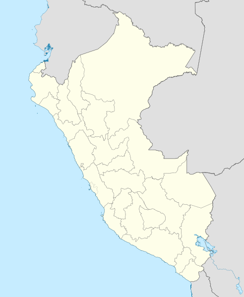
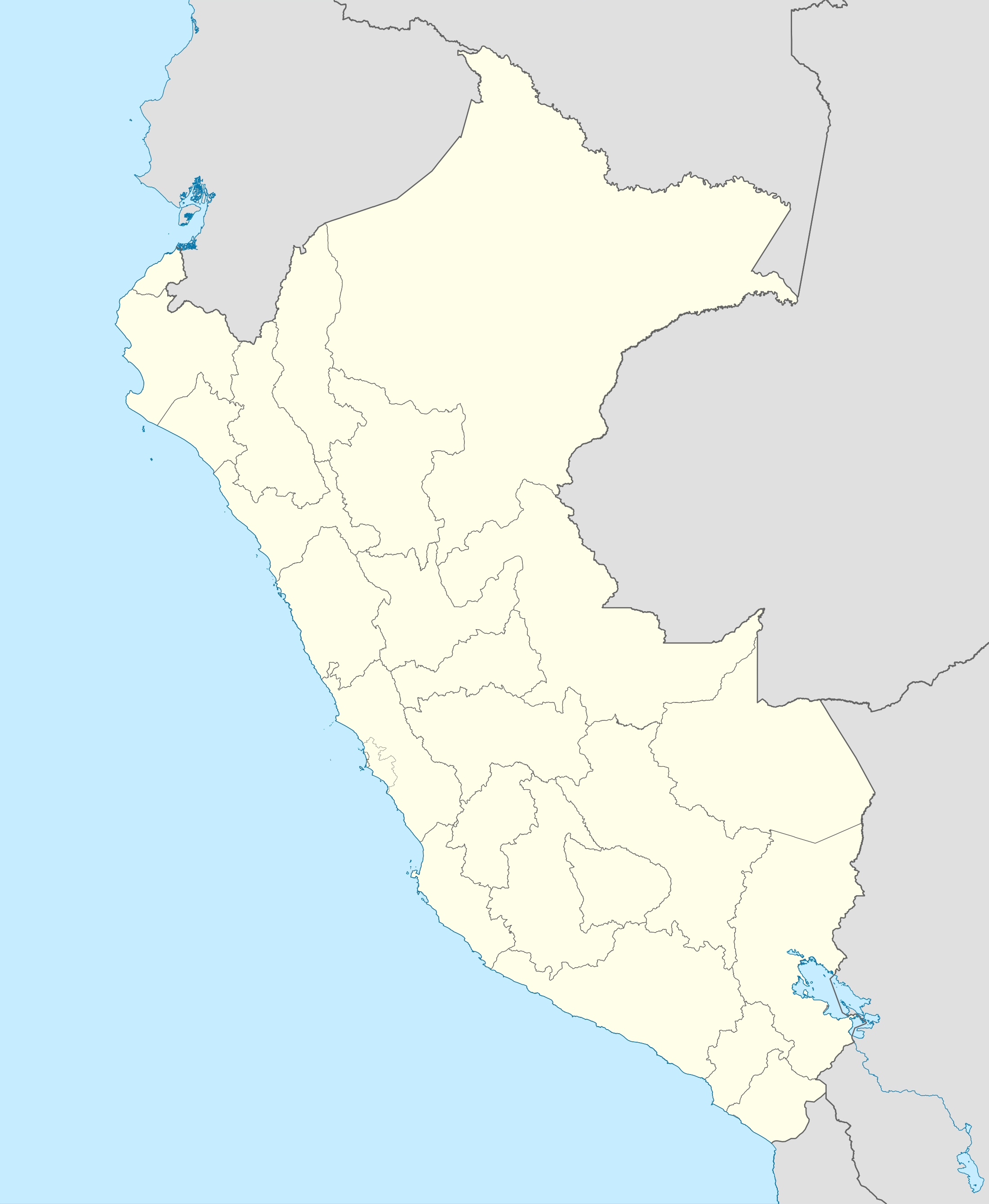
English: Blank political map of Peru
Equirectangular projection, Geographic limits of the map:
|
| දිනය | (UTC) |
| මූලාශ්රය | Peru_-_(Template).svg |
| කර්තෘ | User:Spischot |
.svg)
| This is a retouched picture, which means that it has been digitally altered from its original version. Modifications: Changed style to conform location maps 2008. The original can be viewed here: Peru - (Template).svg:
|
බලපත්රීකරණය
මෙම කෘතියෙහි හිමිකම් අයිතීන් දරන්නා වන මම,පහත වරපත යටතේ එය ප්රකාශයට පත් කරමි:
මෙම ගොනුව ක්රියේටිව් කොමන්ස් Attribution-Share Alike 3.0 Unported වරපත යටතේ අවසර ලබා ඇත.
- ඔබ නිදහස්:
- බෙදාහදා ගැනීමට – කාර්යය පිටපත් කිරීමට,බෙදා හැරීමට සහ සම්ප්රේෂණය කිරීමට
- නැවත සංකලනය කිරීමට – කාර්යයට අනුවර්තනය වීමට
- පහත කොන්දේසිවලට යටත්ව:
- attribution – වරපත වෙත බැඳියක්ද සපයමින් ඔබ විසින් සුදුසු කර්තෘභාරය ප්රදානය කල යුතු අතර, කිසියම් වෙනස්වීම් සිදුකලේ නම් එයද සඳහන් කල යුතු වෙයි. ඕනෑම සුදුසු ආකාරයට මෙය ඔබ විසින් සිදුකල හැකි මුත්, වරපත්දායකයා විසින් ඔබ හෝ ඔබගේ භාවිතය හෝ පිටසන් කරන බවට ඇඟවෙන ලෙසින් එය සිදු නොකල යුතු වෙයි.
- share alike – මෙම විෂය කාරණා භාවිතා කොට නැවත සංකලනය, ප්රතියෝජනය හෝ වැඩිදියුණුව කලේ නම්, ඉන්පසු ඔබගේ දායකත්වය ඔබ විසින් බෙදාහැරිය යුත්තේ මුල් වරපත හා සමාන හෝ සංගතික හෝ වරපතක් භාවිතා කරමිනි.
ප්රකෘති පැටවුම් ලොගය
This image is a derivative work of the following images:
- File:Peru_-_(Template).svg licensed with Cc-by-sa-3.0
- 2009-07-21T07:54:54Z Huhsunqu 820x1000 (1674312 Bytes) detail map
- 2009-07-15T06:39:44Z Huhsunqu 820x1000 (1396540 Bytes) ANCHOS
- 2009-07-06T05:07:34Z Huhsunqu 820x1000 (1398457 Bytes) {{Information |Description={{en|1=Blank political map of Perú}} {{es|1=Mapa plantilla de las regiones y departamentos del Perú.}} |Source=trabajo propio (own work) |Author=[[User:Huhsunqu|Huhsunqu]] |Date=2009-07-05 |Permis
Uploaded with derivativeFX
ගොනු ඉතිහාසය
එම අවස්ථාවෙහිදී ගොනුව පැවැති ආකාරය නැරඹීමට දිනය/වේලාව මත ක්ලික් කරන්න.
| දිනය/වේලාව | කුඩා-රූපය | මාන | පරිශීලක | පරිකථනය | |
|---|---|---|---|---|---|
| වත්මන් | 00:52, 12 මාර්තු 2023 | | 2,200 × 2,679 (15.72 මෙ.බ.) | Waterloo1883 | Corrección del marco izquierdo y disminución del grosor de los limites administrativos. |
| 22:15, 23 දෙසැම්බර් 2020 |  | 1,033 × 1,258 (13.78 මෙ.බ.) | Waterloo1883 | Límites departamentales actuales. | |
| 19:20, 1 මැයි 2018 |  | 820 × 1,000 (777 කි.බ.) | Janitoalevic | Fixed size | |
| 18:54, 1 මැයි 2018 |  | 875 × 1,067 (775 කි.බ.) | Janitoalevic | *Fixed coastline, international and internal borders. *Added San Lorenzo island *Better Lake Titicaca | |
| 21:33, 23 ඔක්තෝබර් 2009 |  | 820 × 1,000 (807 කි.බ.) | Spischot | {{Information |Description={{en|1=Blank political map of en:Peru}} Equirectangular projection, Geographic limits of the map: * N: 0.73° N * S: 19.36° S * W: 83.25° W * E: 66.75° W |Source=*File:Peru_-_(Template).svg |Date=2009-10-23 21:27 |
.svg)
ගොනු භාවිතය
පහත දැක්වෙන පිටු 2 ක් විසින් මෙම ගොනුව භාවිතා කෙරෙයි:
ගෝලීය ගොනු භාවිතය
පහත දැක්වෙන අනෙකුත් විකියන් මගින් මෙම ගොනුව භාවිතා කරයි:
- af.wikipedia.org හි භාවිතය
- an.wikipedia.org හි භාවිතය
- ar.wikipedia.org හි භාවිතය
- ast.wikipedia.org හි භාවිතය
- Llagu Titicaca
- Ríu Amazones
- Lima
- Rumicolca
- Base aérea El Pato
- Concepción (Perú)
- Ríu Apurímac
- Mismi
- Ríu Madre de Dios
- Cuzco
- Sacsayhuamán
- Jenaro Herrera (Perú)
- Palaciu Llexislativu del Perú
- La Rinconada (Perú)
- Santuariu históricu de Machu Picchu
- Tabayones les Trés Hermanes
- Tabayón Yumbilla
- Catarata Gocta
- Huandoy
- Huascarán
- Yerupajá
- Módulu:Mapa de llocalización/datos/Perú
- Módulu:Mapa de llocalización/datos/Perú/usu
- Copa América 2004
- Campeonatu Descentralizáu 2018
- Callao
- Universidá Inca Garcilaso de la Vega
- Aeropuertu Alf. FAP David Figueroa Fernandini
- Aeropuertu Cadete FAP Guillermo del Castillo Paredes
- Aeropuertu Capitán FAP Renán Elías Olivera
- Aeropuertu Francisco Carlé
- Aeropuertu Internacional Alejandro Velasco Astete
- Aeropuertu Internacional Capitán FAP José A. Quiñones
- Aeropuertu Internacional Coronel FAP Carlos Ciriani Santa Rosa
- Aeropuertu Internacional Inca Manco Cápac
මෙම ගොනුවේ තවත් ගෝලීය භාවිත බලන්න.