
ගොනුව:Oxfordshire UK relief location map.jpg

මෙම පෙරදසුනෙහි විශාලත්වය: 509 × 599 පික්සල. අනෙකුත් විභේදනයන්: 204 × 240 පික්සල | 408 × 480 පික්සල | 653 × 768 පික්සල | 870 × 1,024 පික්සල | 2,003 × 2,357 පික්සල.
මුල් ගොනුව (2,003 × 2,357 පික්සල, ගොනු විශාලත්වය: 450 කි.බ., MIME ශෛලිය: image/jpeg)
| විස්තරය |
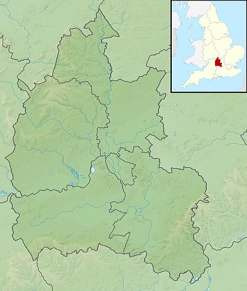
Relief map of Oxfordshire, UK. Equirectangular map projection on WGS 84 datum, with N/S stretched 160% Geographic limits:
|
| දිනය | |
| මූලාශ්රය |
|
| කර්තෘ | Nilfanion, created using Ordnance Survey data |
| අවසරය (මෙම ගොනුව නැවත භාවිතා කරමින්) |
මෙම ගොනුව ක්රියේටිව් කොමන්ස් Attribution-Share Alike 3.0 Unported වරපත යටතේ අවසර ලබා ඇත. Attribution: Contains Ordnance Survey data © Crown copyright and database right
|
| අනෙකුත් අනුවාදයන් | File:Oxfordshire UK district map (blank).svg - Blank map |
.svg)
ගොනු ඉතිහාසය
එම අවස්ථාවෙහිදී ගොනුව පැවැති ආකාරය නැරඹීමට දිනය/වේලාව මත ක්ලික් කරන්න.
| දිනය/වේලාව | කුඩා-රූපය | මාන | පරිශීලක | පරිකථනය | |
|---|---|---|---|---|---|
| වත්මන් | 01:50, 29 නොවැම්බර් 2011 | | 2,003 × 2,357 (450 කි.බ.) | Nilfanion | {{Information |Description=Relief map of Oxfordshire, UK. Equirectangular map projection on WGS 84 datum, with N/S stretched 160% Geographic limits: *West: 1.74W *East: 0.72W *North: 52.19N *South: 51.44N |Source=[[w:Ordnance Survey|Or |
ගොනු භාවිතය
පහත දැක්වෙන පිටු 3 ක් විසින් මෙම ගොනුව භාවිතා කෙරෙයි:
ගෝලීය ගොනු භාවිතය
පහත දැක්වෙන අනෙකුත් විකියන් මගින් මෙම ගොනුව භාවිතා කරයි:
- ar.wikipedia.org හි භාවිතය
- bg.wikipedia.org හි භාවිතය
- ceb.wikipedia.org හි භාවිතය
- en.wikipedia.org හි භාවිතය
- Garsington Manor
- Wayland's Smithy
- Battle of Cropredy Bridge
- Redgrave Pinsent Rowing Lake
- Farmoor Reservoir
- Battle of Chalgrove Field
- Grimsbury Reservoir
- Siege of Oxford
- Hardwick House, Oxfordshire
- Henley Park
- Abingdon Reservoir
- Albert Park, Abingdon
- Fritwell Manor
- Mill House and The Wharf, Sutton Courtenay
- Chipping Norton Limestone
- John Cornwall (died 1414)
- Module:Location map/data/United Kingdom Oxfordshire
- Module:Location map/data/Oxfordshire
- Module:Location map/data/United Kingdom Oxfordshire/doc
- fr.wikipedia.org හි භාවිතය
- ja.wikipedia.org හි භාවිතය
- kn.wikipedia.org හි භාවිතය
- la.wikipedia.org හි භාවිතය
- lv.wikipedia.org හි භාවිතය
- mk.wikipedia.org හි භාවිතය
- nl.wikipedia.org හි භාවිතය
- os.wikipedia.org හි භාවිතය
- pl.wikipedia.org හි භාවිතය
- pl.wikibooks.org හි භාවිතය
- sh.wikipedia.org හි භාවිතය
මෙම ගොනුවේ තවත් ගෝලීය භාවිත බලන්න.