
ගොනුව:Oceans around British Isles satellite image location map.jpg
මෙම පෙරදසුනෙහි විශාලත්වය: 496 × 599 පික්සල. අනෙකුත් විභේදනයන්: 199 × 240 පික්සල | 397 × 480 පික්සල | 636 × 768 පික්සල | 848 × 1,024 පික්සල | 1,654 × 1,998 පික්සල.
මුල් ගොනුව (1,654 × 1,998 පික්සල, ගොනු විශාලත්වය: 242 කි.බ., MIME ශෛලිය: image/jpeg)
| විස්තරය |
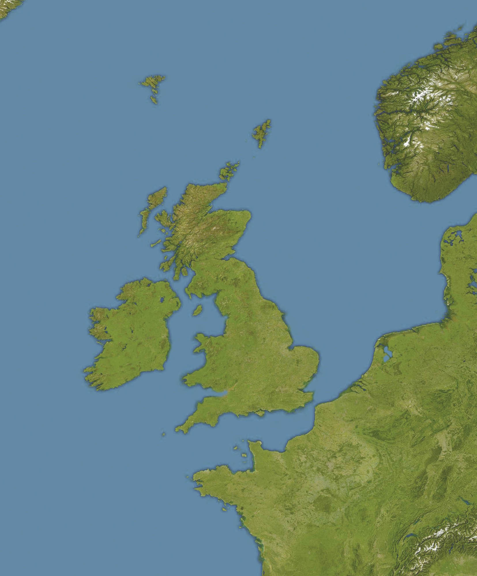
English: Location map of oceans around the United Kingdom and Ireland
Equirectangular projection, N/S stretching 150 %. Geographic limits of the map:
|
| දිනය |
19 December 2008 |
| මූලාශ්රය |
Transferred from en.wikipedia |
| කර්තෘ | Original uploader was Bellhalla at en.wikipedia |
| අවසරය (මෙම ගොනුව නැවත භාවිතා කරමින්) |
PD-AUTHOR. |
| අනෙකුත් අනුවාදයන් |

බලපත්රීකරණය
| මෙම කාර්යය එහි කර්තෘ, Bellhalla at ඉංග්රීසි විකිපීඩියා, විසින් public domain වෙත නිදහස් කර ඇත. එය ලෝක ව්යාප්තව අදාළ වේ. සමහර රටවල මෙය අනීතික විය හැකිය. එසේ වුවහොත්; නීතියෙන් යම් කොන්දේසියක් පනවා ඇති නම් හැරෙන්නට කිසිදු කොන්දේසියකින් තොරව ඕනෑම ප්රයෝජනයක් සඳහා මෙම කාර්යය භාවිතා කිරීමේ අයිතිය Bellhalla විසින් ලබා දෙයි. |
ප්රකෘති පැටවුම් ලොගය
The original description page was here. All following user names refer to en.wikipedia.
- 2008-12-19 17:59 Bellhalla 1654×1998× (247419 bytes) {{Information |Description={{en|Location map of oceans around the [[United Kingdom]] and [[Ireland]] Equirectangular projection, N/S stretching 150 %. Geographic limits of the map: * N: 65° N * S: 45° N * W: 15° W * E: 10° E }} |Source=own work, cropp
ගොනු ඉතිහාසය
එම අවස්ථාවෙහිදී ගොනුව පැවැති ආකාරය නැරඹීමට දිනය/වේලාව මත ක්ලික් කරන්න.
| දිනය/වේලාව | කුඩා-රූපය | මාන | පරිශීලක | පරිකථනය | |
|---|---|---|---|---|---|
| වත්මන් | 12:59, 5 ජූනි 2009 | | 1,654 × 1,998 (242 කි.බ.) | Obersachse | {{Information |Description={{en|''no original description''}} |Source=Transferred from [http://en.wikipedia.org en.wikipedia]<br/> (Original text : ''own work, cropped version of en::File:Europe satellite image location map.jpg, which is a cropped a |
ගොනු භාවිතය
පහත දැක්වෙන පිටු 2 ක් විසින් මෙම ගොනුව භාවිතා කෙරෙයි:
ගෝලීය ගොනු භාවිතය
පහත දැක්වෙන අනෙකුත් විකියන් මගින් මෙම ගොනුව භාවිතා කරයි:
- ar.wikipedia.org හි භාවිතය
- ceb.wikipedia.org හි භාවිතය
- de.wikipedia.org හි භාවිතය
- en.wikipedia.org හි භාවිතය
- RMS Alcantara (1913)
- Second Battle of Cape Finisterre
- SS Athenia (1922)
- SS Arandora Star
- Anton Dohrn Seamount
- SS Assyrian (1914)
- SS Empire Simba
- SS Empire Adventure
- Module:Location map/data/British Isles Oceans/doc
- Hasselwood Rock
- SS Crown Arun
- SS Gairsoppa
- Action of 29 February 1916
- SS Clan Matheson (1919)
- Helen's Reef
- SS Western Maid
- MV Scantic
- SS Leander (1925)
- SS Iserlohn (1909)
- SS Stakesby (1930)
- SS Lambridge
- SS Norjerv
- SS Pengreep
- SS Wairuna
- SS Almeda Star
- SS Creekirk
- Rescue of Roger Mallinson and Roger Chapman
- SS Oropesa (1919)
- SS Mohamed Ali El-Kebir
- Heinz Schnabel and Harry Wappler escape attempt
- Module:Location map/data/British Isles Oceans
- Hebrides Terrace Seamount
- eo.wikipedia.org හි භාවිතය
- fa.wikipedia.org හි භාවිතය
- ja.wikipedia.org හි භාවිතය
- kn.wikipedia.org හි භාවිතය
- pt.wikipedia.org හි භාවිතය
- uk.wikipedia.org හි භාවිතය
මෙම ගොනුවේ තවත් ගෝලීය භාවිත බලන්න.