
ගොනුව:Marlborough nz location.png
මෙයට ඉහල විසර්ජනයක් ලබාගත නොහැක.
Marlborough_nz_location.png (405 × 590 පික්සල, ගොනු විශාලත්වය: 7 කි.බ., MIME ශෛලිය: image/png)
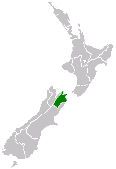
Region of New Zealand, position on the map
| |
මෙම කාර්යය එහි කර්තෘ, Furius, at the ඉංග්රීසි විකිපීඩියා project, විසින් public domain වෙත නිදහස් කර ඇත. එය ලෝක ව්යාප්තව අදාළ වේ. In case this is not legally possible: |
ගොනු ඉතිහාසය
එම අවස්ථාවෙහිදී ගොනුව පැවැති ආකාරය නැරඹීමට දිනය/වේලාව මත ක්ලික් කරන්න.
| දිනය/වේලාව | කුඩා-රූපය | මාන | පරිශීලක | පරිකථනය | |
|---|---|---|---|---|---|
| වත්මන් | 07:40, 27 අප්රේල් 2005 | | 405 × 590 (7 කි.බ.) | Domie~commonswiki | Region of New Zealand, position on the map {{PD}} Category:Maps of New Zealand |
ගොනු භාවිතය
මෙම ගොනුව භාවිතා කරන නිසිදු පිටුවක් නොමැත.
ගෝලීය ගොනු භාවිතය
පහත දැක්වෙන අනෙකුත් විකියන් මගින් මෙම ගොනුව භාවිතා කරයි:
- en.wikipedia.org හි භාවිතය
- Port Gore
- Kenepuru Sound
- Cape Campbell
- Tapuae-o-Uenuku
- Long Island (Marlborough)
- RNZAF Base Woodbourne
- Fairy Bay
- Tawero Point
- Allports Island
- Amerikiwhati Island
- Anatakupu Island
- Wharanui
- Template:Marlborough-geo-stub
- Moenui
- Cape Jackson, New Zealand
- Penzance Bay
- Maungatapu
- Koromiko, New Zealand
- West Head
- Blumine Island
- Wards Pass
- Rangitoto Islands
- Chetwode Islands
- Marlborough Sounds Important Bird Areas
- Forsyth Island (New Zealand)
- Dillon Cone
- Whangamoa Saddle
- Bryant Range
- Burleigh, New Zealand
- Croisilles Harbour
- Kaikoura County
- Marlborough County
- Bird Island (Marlborough)
- Bottle Rock
- Budges Island
- Brown River (Marlborough)
- fi.wikipedia.org හි භාවිතය
- gd.wikipedia.org හි භාවිතය
- hi.wikipedia.org හි භාවිතය
- ja.wikipedia.org හි භාවිතය
- ko.wikipedia.org හි භාවිතය
- ms.wikipedia.org හි භාවිතය
- nn.wikipedia.org හි භාවිතය
- pl.wikipedia.org හි භාවිතය
- ru.wikipedia.org හි භාවිතය
- sh.wikipedia.org හි භාවිතය
- simple.wikipedia.org හි භාවිතය
- sv.wikipedia.org හි භාවිතය
- uk.wikipedia.org හි භාවිතය
- ur.wikipedia.org හි භාවිතය
මෙම ගොනුවේ තවත් ගෝලීය භාවිත බලන්න.