
ගොනුව:Location map Ryukyu Islands.png
මුල් ගොනුව (1,457 × 893 පික්සල, ගොනු විශාලත්වය: 797 කි.බ., MIME ශෛලිය: image/png)

|
This locator map image could be re-created using vector graphics as an SVG file. This has several advantages; see Commons:Media for cleanup for more information. If an SVG form of this image is available, please upload it and afterwards replace this template with
{{vector version available|new image name}}.
It is recommended to name the SVG file “Location map Ryukyu Islands.svg”—then the template Vector version available (or Vva) does not need the new image name parameter. |
සාරාංශය
| විස්තරය |
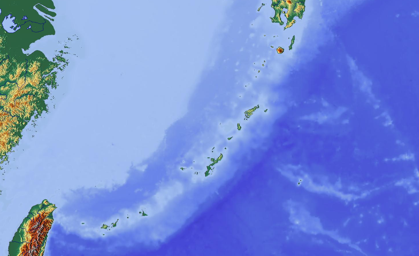
English: Map showing Ryukyu Islands for pin
|
| දිනය | |
| මූලාශ්රය | http://www.maps-for-free.com/ |
| කර්තෘ | Modified by Dr. Blofeld |
| අවසරය (මෙම ගොනුව නැවත භාවිතා කරමින්) |
http://www.maps-for-free.com/html/about.html |
| අනෙකුත් අනුවාදයන් |
|
බලපත්රීකරණය
This screenshot either does not contain copyright-eligible parts or visuals of copyrighted software, or the author has released it under a free license (which should be indicated beneath this notice), and as such follows the licensing guidelines for screenshots of Wikimedia Commons. You may use it freely according to its particular license. Free software license:

|
මෙම කාර්යය නිදහස් මෘදුකාංගයකි; Free Software Foundation මගින් ප්රකාශිත GNU General Public License හි 2 වන අනුවාදය හෝ ඉන් පසු ඕනෑම අනුවාදයක කොන්දේසි වලට යටත්ව එය නැවත බෙදාහැරුමට සහ/හෝ වෙනස් කෙරුමට ඔබට හැකිය. මෙම කාර්යය බෙදාහැර ඇත්තේ එය එය ප්රයෝජනවත් වේය යන බලාපොරොත්තුව ඇතිවය, නමුත් කිසිදු වගකීමකින් තොරවය; විකිණියහැකි බව හෝ කිසියම් කාර්යයතට ගැළපේ යන වගකීම පවා රහිතවය. වැඩි විස්තර සඳහා GNU General Public License හි 2 වන අනුවාදය සහ 3 වන අනුවාදය බලන්න. |
Note: if the screenshot shows any work that is not a direct result of the program code itself, such as a text or graphics that are not part of the program, the license for that work must be indicated separately.
- ඔබ නිදහස්:
- බෙදාහදා ගැනීමට – කාර්යය පිටපත් කිරීමට,බෙදා හැරීමට සහ සම්ප්රේෂණය කිරීමට
- නැවත සංකලනය කිරීමට – කාර්යයට අනුවර්තනය වීමට
- පහත කොන්දේසිවලට යටත්ව:
- attribution – වරපත වෙත බැඳියක්ද සපයමින් ඔබ විසින් සුදුසු කර්තෘභාරය ප්රදානය කල යුතු අතර, කිසියම් වෙනස්වීම් සිදුකලේ නම් එයද සඳහන් කල යුතු වෙයි. ඕනෑම සුදුසු ආකාරයට මෙය ඔබ විසින් සිදුකල හැකි මුත්, වරපත්දායකයා විසින් ඔබ හෝ ඔබගේ භාවිතය හෝ පිටසන් කරන බවට ඇඟවෙන ලෙසින් එය සිදු නොකල යුතු වෙයි.
ගොනු ඉතිහාසය
එම අවස්ථාවෙහිදී ගොනුව පැවැති ආකාරය නැරඹීමට දිනය/වේලාව මත ක්ලික් කරන්න.
| දිනය/වේලාව | කුඩා-රූපය | මාන | පරිශීලක | පරිකථනය | |
|---|---|---|---|---|---|
| වත්මන් | 15:03, 26 ඔක්තෝබර් 2012 | | 1,457 × 893 (797 කි.බ.) | Blofeld Dr. | {{Information |Description ={{en|1=y}} |Source =y |Author =y |Date =y |Permission = |other_versions = }} |
ගොනු භාවිතය
පහත දැක්වෙන පිටු 3 ක් විසින් මෙම ගොනුව භාවිතා කෙරෙයි:
ගෝලීය ගොනු භාවිතය
පහත දැක්වෙන අනෙකුත් විකියන් මගින් මෙම ගොනුව භාවිතා කරයි:
- ar.wikipedia.org හි භාවිතය
- ceb.wikipedia.org හි භාවිතය
- en.wikipedia.org හි භාවිතය
- Sakishima Islands
- Yonaguni
- Kerama Islands
- Okinawa Island
- Third Taiwan Strait Crisis
- Daitō Islands
- Minami-Daito Airport
- Kitadaito Airport
- Naha Airport Station
- Gusuku Sites and Related Properties of the Kingdom of Ryukyu
- Ōike
- Izena Island
- Tsuken Island
- User:Aom2-vh3/sandbox
- VH-3 (Rescue squadron)
- Sanchi oil tanker collision
- Talk:Sanchi oil tanker collision
- Module:Location map/data/Japan Ryukyu Islands
- Module:Location map/data/Japan Ryukyu Islands/doc
- User:Ty654/List of earthquakes exceeding magnitude 8+
- User:Ty654/List of earthquakes from 1900-1949 exceeding magnitude 7+
- User:Ty654/List of earthquakes from 1950-1999 exceeding magnitude 7+
- User:Ty654/List of earthquakes from 2000-present exceeding magnitude 7+
- User:Ty654/List of earthquakes from 1920-1929 exceeding magnitude 6+
- User:Ty654/List of earthquakes from 1930-1939 exceeding magnitude 6+
- User:Ty654/List of earthquakes from 1940-1949 exceeding magnitude 6+
- User:Ty654/List of earthquakes from 1950-1954 exceeding magnitude 6+
- User:Ty654/List of earthquakes from 1955-1959 exceeding magnitude 6+
- User:Ty654/List of earthquakes from 1960-1964 exceeding magnitude 6+
- User:Ty654/List of earthquakes from 1965-1969 exceeding magnitude 6+
- User:Ty654/List of earthquakes from 1970-1974 exceeding magnitude 6+
- User:Ty654/List of earthquakes from 1975-1979 exceeding magnitude 6+
- User:Ty654/List of earthquakes from 1980-1984 exceeding magnitude 6+
- User:Ty654/List of earthquakes from 1985-1989 exceeding magnitude 6+
- User:Ty654/List of earthquakes from 1990-1994 exceeding magnitude 6+
- User:Ty654/List of earthquakes from 1995-1999 exceeding magnitude 6+
- User:Ty654/List of earthquakes from 2000-2004 exceeding magnitude 6+
- User:Ty654/List of earthquakes from 2005-2009 exceeding magnitude 6+
- User:Ty654/List of earthquakes from 2010-2014 exceeding magnitude 6+
- User:Ty654/List of earthquakes from 2015-2019 exceeding magnitude 6+
- Yonaguni Knoll IV
- Naval Base Okinawa
- fa.wikipedia.org හි භාවිතය
- id.wikipedia.org හි භාවිතය
- kn.wikipedia.org හි භාවිතය
- ko.wikipedia.org හි භාවිතය
මෙම ගොනුවේ තවත් ගෝලීය භාවිත බලන්න.