
ගොනුව:Location map Makassar.png

මෙම පෙරදසුනෙහි විශාලත්වය: 561 × 599 පික්සල. අනෙකුත් විභේදනයන්: 225 × 240 පික්සල | 449 × 480 පික්සල | 719 × 768 පික්සල | 959 × 1,024 පික්සල | 1,923 × 2,054 පික්සල.
මුල් ගොනුව (1,923 × 2,054 පික්සල, ගොනු විශාලත්වය: 2.38 මෙ.බ., MIME ශෛලිය: image/png)
සාරාංශය
| විස්තරය |
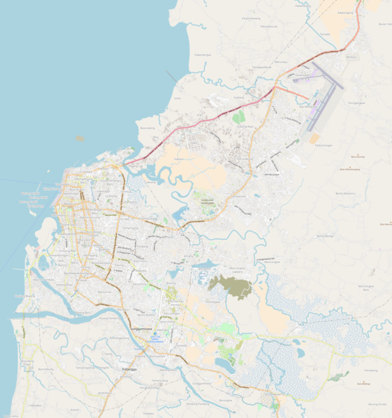
English: Location map of Makassar from OSM
Boundaries:
|
| දිනය | |
| මූලාශ්රය | OpenStreetMap |
| කර්තෘ | OSM Contributors |
බලපත්රීකරණය
| This work contains information from OpenStreetMap, which is made available under the Open Database License (ODbL).
The ODbL does not require any particular license for maps produced from ODbL data. Prior to 1 August 2020, map tiles produced by the OpenStreetMap Foundation were licensed under the CC-BY-SA-2.0 license. Maps produced by other people may be subject to other licences. |
ගොනු ඉතිහාසය
එම අවස්ථාවෙහිදී ගොනුව පැවැති ආකාරය නැරඹීමට දිනය/වේලාව මත ක්ලික් කරන්න.
| දිනය/වේලාව | කුඩා-රූපය | මාන | පරිශීලක | පරිකථනය | |
|---|---|---|---|---|---|
| වත්මන් | 16:43, 14 මැයි 2018 | | 1,923 × 2,054 (2.38 මෙ.බ.) | Juxlos | User created page with UploadWizard |
ගොනු භාවිතය
පහත දැක්වෙන පිටු 2 ක් විසින් මෙම ගොනුව භාවිතා කෙරෙයි:
ගෝලීය ගොනු භාවිතය
පහත දැක්වෙන අනෙකුත් විකියන් මගින් මෙම ගොනුව භාවිතා කරයි:
- bjn.wikipedia.org හි භාවිතය
- en.wikipedia.org හි භාවිතය
- fa.wikipedia.org හි භාවිතය
- fr.wikipedia.org හි භාවිතය
- id.wikipedia.org හි භාවිතය
- uz.wikipedia.org හි භාවිතය
- www.wikidata.org හි භාවිතය
- zh.wikipedia.org හි භාවිතය