
ගොනුව:Lake District National Park UK location map.svg

Size of this PNG preview of this SVG file: 497 × 599 පික්සල. අනෙකුත් විභේදනයන්: 199 × 240 පික්සල | 398 × 480 පික්සල | 637 × 768 පික්සල | 850 × 1,024 පික්සල | 1,699 × 2,048 පික්සල | 1,116 × 1,345 පික්සල.
මුල් ගොනුව (SVG ගොනුව, නාමමාත්රිකව 1,116 × 1,345 පික්සල්, ගොනු විශාලත්වය: 1.6 මෙ.බ.)
| විස්තරය |
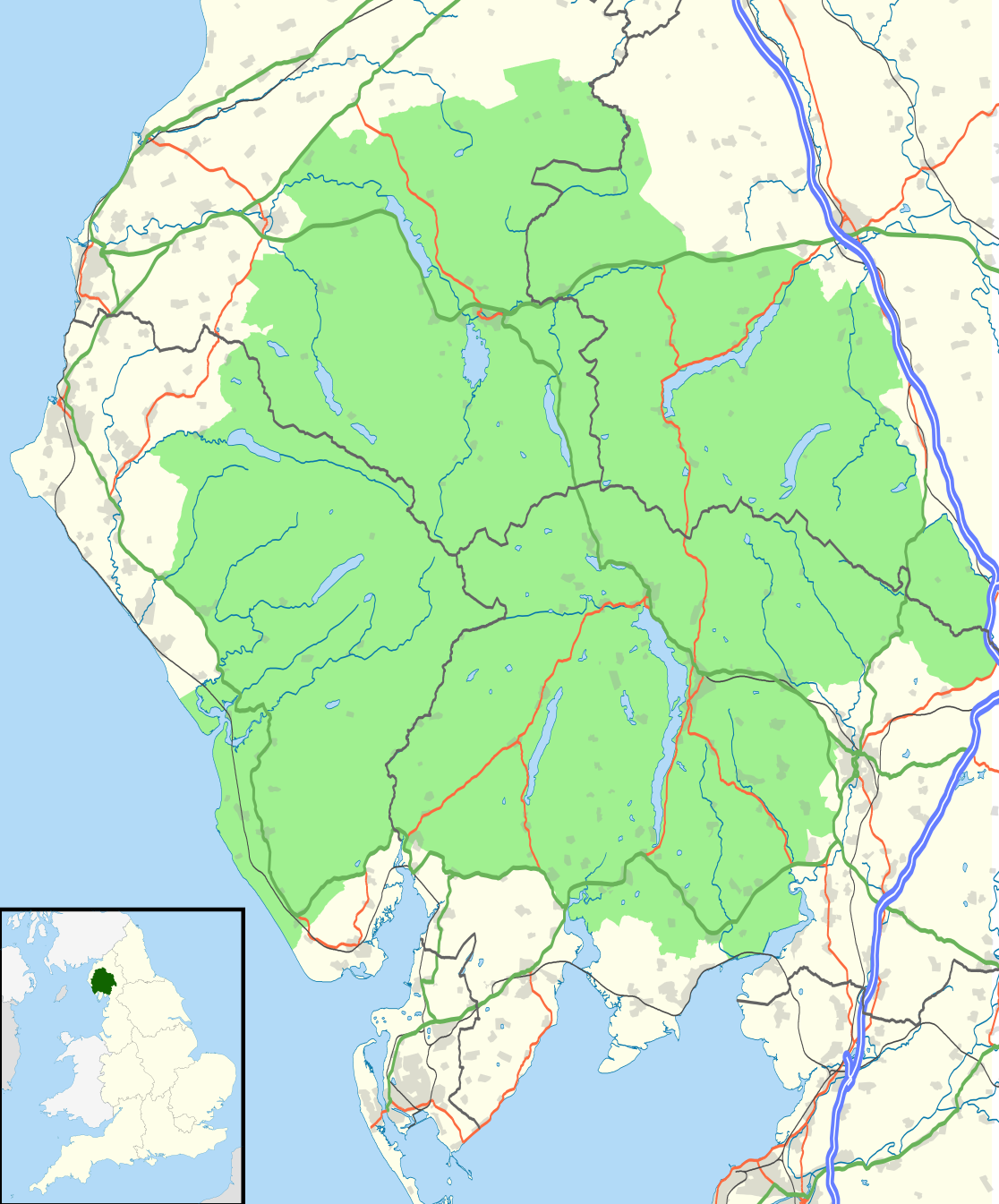
Map of the Lake District National Park, UK with the following information shown:
Equirectangular map projection on WGS 84 datum, with N/S stretched 170% Geographic limits:
|
| දිනය | |
| මූලාශ්රය |
Office of National Statistics Geography
|
| කර්තෘ | Nilfanion, created using Ordnance Survey data |
| අවසරය (මෙම ගොනුව නැවත භාවිතා කරමින්) |
මෙම ගොනුව ක්රියේටිව් කොමන්ස් Attribution-Share Alike 3.0 Unported වරපත යටතේ අවසර ලබා ඇත. Attribution: Contains Ordnance Survey data © Crown copyright and database right
|
ගොනු ඉතිහාසය
එම අවස්ථාවෙහිදී ගොනුව පැවැති ආකාරය නැරඹීමට දිනය/වේලාව මත ක්ලික් කරන්න.
| දිනය/වේලාව | කුඩා-රූපය | මාන | පරිශීලක | පරිකථනය | |
|---|---|---|---|---|---|
| වත්මන් | 21:05, 4 අගෝස්තු 2016 | | 1,116 × 1,345 (1.6 මෙ.බ.) | Rcsprinter123 | Amendments per the Lake District National Park (Designation) (Variation) Order 2012. |
| 21:32, 29 ඔක්තෝබර් 2010 |  | 1,108 × 1,345 (1.48 මෙ.බ.) | Nilfanion | {{Information |Description=Map of the Lake District National Park, UK with the following information shown: *National Park boundary *Administrative borders *Coastline, lakes and rivers *Roads and railways *Urban areas Equirectangular |
ගොනු භාවිතය
පහත දැක්වෙන පිටු 2 ක් විසින් මෙම ගොනුව භාවිතා කෙරෙයි:
ගෝලීය ගොනු භාවිතය
පහත දැක්වෙන අනෙකුත් විකියන් මගින් මෙම ගොනුව භාවිතා කරයි:
- ar.wikipedia.org හි භාවිතය
- ban.wikipedia.org හි භාවිතය
- br.wikipedia.org හි භාවිතය
- ceb.wikipedia.org හි භාවිතය
- de.wikipedia.org හි භාවිතය
- en.wikipedia.org හි භාවිතය
- es.wikipedia.org හි භාවිතය
- eu.wikipedia.org හි භාවිතය
- fa.wikipedia.org හි භාවිතය
- fy.wikipedia.org හි භාවිතය
- he.wikipedia.org හි භාවිතය
- hy.wikipedia.org හි භාවිතය
- ja.wikipedia.org හි භාවිතය
- kn.wikipedia.org හි භාවිතය
- ml.wikipedia.org හි භාවිතය
- nl.wikipedia.org හි භාවිතය
- nl.wikivoyage.org හි භාවිතය
- nn.wikipedia.org හි භාවිතය
- pl.wikipedia.org හි භාවිතය
- ro.wikipedia.org හි භාවිතය
- ru.wikipedia.org හි භාවිතය
- simple.wikipedia.org හි භාවිතය
- sl.wikipedia.org හි භාවිතය
- ta.wikipedia.org හි භාවිතය
- th.wikipedia.org හි භාවිතය
- tr.wikipedia.org හි භාවිතය
- uk.wikipedia.org හි භාවිතය
- war.wikipedia.org හි භාවිතය
- zh.wikipedia.org හි භාවිතය