
ගොනුව:Iran Yazd adm location map.svg

Size of this PNG preview of this SVG file: 512 × 540 පික්සල. අනෙකුත් විභේදනයන්: 228 × 240 පික්සල | 455 × 480 පික්සල | 728 × 768 පික්සල | 971 × 1,024 පික්සල | 1,942 × 2,048 පික්සල.
මුල් ගොනුව (SVG ගොනුව, නාමමාත්රිකව 512 × 540 පික්සල්, ගොනු විශාලත්වය: 38 කි.බ.)
සාරාංශය
| විස්තරය |
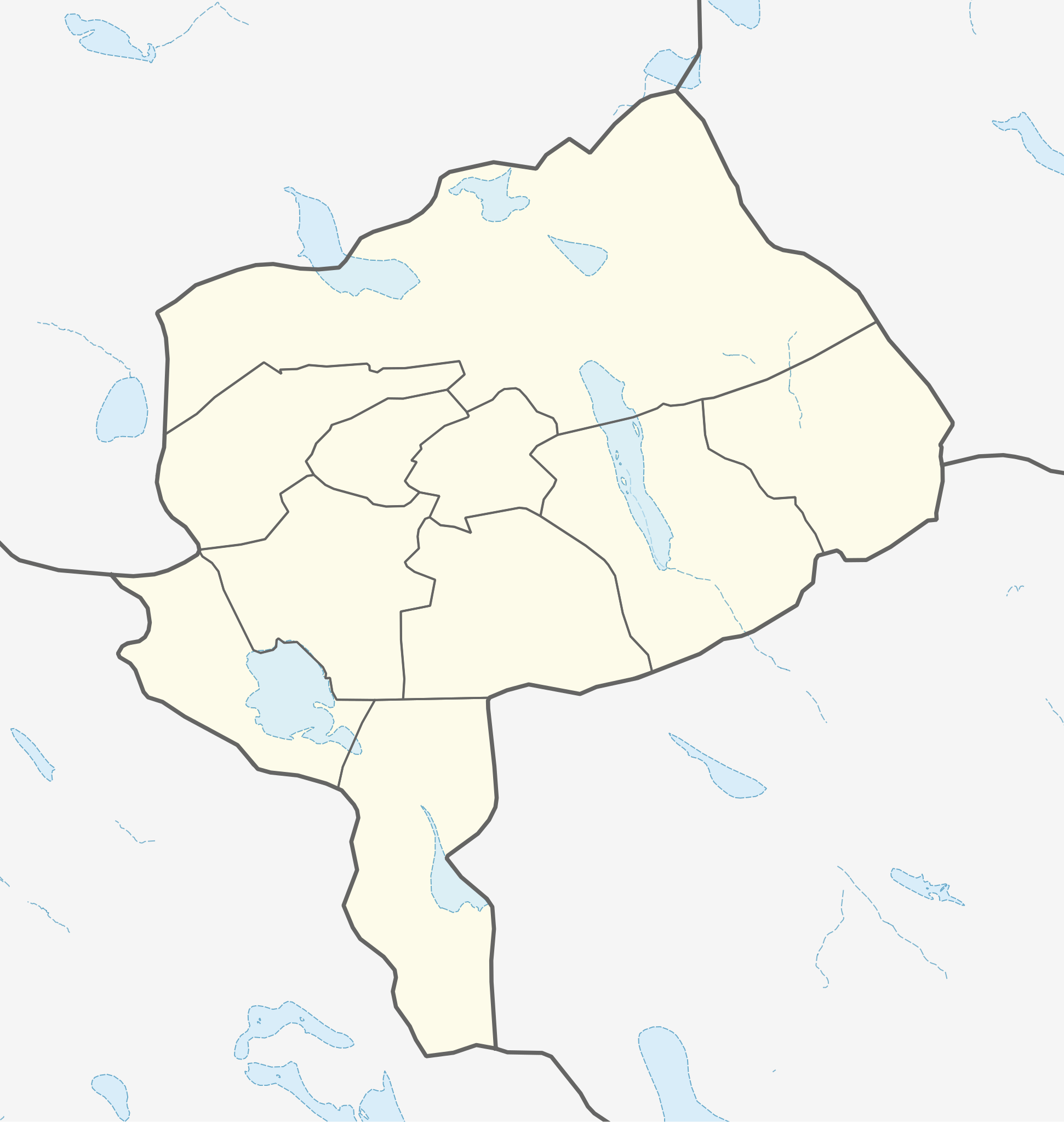
English: Location map of Yazd Province, Iran
|
||||||||||||
| දිනය | |||||||||||||
| මූලාශ්රය | Own work using: UN OCHA Data, United States National Imagery and Mapping Agency data | ||||||||||||
| කර්තෘ | Isochrone | ||||||||||||
බලපත්රීකරණය
මෙම කෘතියෙහි හිමිකම් අයිතීන් දරන්නා වන මම,පහත වරපත යටතේ එය ප්රකාශයට පත් කරමි:
This file is licensed under the Creative Commons Attribution-Share Alike 4.0 International license.
- ඔබ නිදහස්:
- බෙදාහදා ගැනීමට – කාර්යය පිටපත් කිරීමට,බෙදා හැරීමට සහ සම්ප්රේෂණය කිරීමට
- නැවත සංකලනය කිරීමට – කාර්යයට අනුවර්තනය වීමට
- පහත කොන්දේසිවලට යටත්ව:
- attribution – වරපත වෙත බැඳියක්ද සපයමින් ඔබ විසින් සුදුසු කර්තෘභාරය ප්රදානය කල යුතු අතර, කිසියම් වෙනස්වීම් සිදුකලේ නම් එයද සඳහන් කල යුතු වෙයි. ඕනෑම සුදුසු ආකාරයට මෙය ඔබ විසින් සිදුකල හැකි මුත්, වරපත්දායකයා විසින් ඔබ හෝ ඔබගේ භාවිතය හෝ පිටසන් කරන බවට ඇඟවෙන ලෙසින් එය සිදු නොකල යුතු වෙයි.
- share alike – මෙම විෂය කාරණා භාවිතා කොට නැවත සංකලනය, ප්රතියෝජනය හෝ වැඩිදියුණුව කලේ නම්, ඉන්පසු ඔබගේ දායකත්වය ඔබ විසින් බෙදාහැරිය යුත්තේ මුල් වරපත හා සමාන හෝ සංගතික හෝ වරපතක් භාවිතා කරමිනි.
ගොනු ඉතිහාසය
එම අවස්ථාවෙහිදී ගොනුව පැවැති ආකාරය නැරඹීමට දිනය/වේලාව මත ක්ලික් කරන්න.
| දිනය/වේලාව | කුඩා-රූපය | මාන | පරිශීලක | පරිකථනය | |
|---|---|---|---|---|---|
| වත්මන් | 21:13, 25 ජූලි 2023 | | 512 × 540 (38 කි.බ.) | Isochrone | fix |
| 21:07, 25 ජූලි 2023 |  | 512 × 539 (35 කි.බ.) | Isochrone | {{Information |Description= {{en|1=Location map of Yazd Province, Iran}} {{Location map series N |stretching=100 |top=33.7 |bottom=29.3 |left=52.3 |right=57.2 }} |Source={{Own using}} [https://data.humdata.org/dataset/cod-ab-irn? UN OCHA Data], United States National Imagery and Mapping Agency data |Date=2023-07-25 |Author={{U|Isochrone}} |Permission= |other_versions= }} == {{int:license-header}} == {{self|cc-by-sa}} Category:Location maps of Asia (series N) [[Category:Location maps of... |
ගොනු භාවිතය
පහත දැක්වෙන පිටු 2 ක් විසින් මෙම ගොනුව භාවිතා කෙරෙයි:
ගෝලීය ගොනු භාවිතය
පහත දැක්වෙන අනෙකුත් විකියන් මගින් මෙම ගොනුව භාවිතා කරයි:
- en.wikipedia.org හි භාවිතය
- fr.wikipedia.org හි භාවිතය
- os.wikipedia.org හි භාවිතය