
ගොනුව:Inverclyde UK location map.svg

Size of this PNG preview of this SVG file: 614 × 600 පික්සල. අනෙකුත් විභේදනයන්: 246 × 240 පික්සල | 491 × 480 පික්සල | 786 × 768 පික්සල | 1,048 × 1,024 පික්සල | 2,097 × 2,048 පික්සල | 1,417 × 1,384 පික්සල.
මුල් ගොනුව (SVG ගොනුව, නාමමාත්රිකව 1,417 × 1,384 පික්සල්, ගොනු විශාලත්වය: 790 කි.බ.)
| විස්තරය |
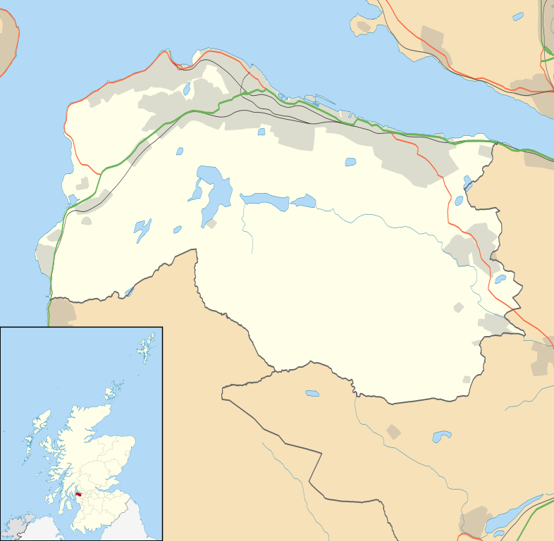
Blank map of Inverclyde, UK with the following information shown:
Equirectangular map projection on WGS 84 datum, with N/S stretched 175% Geographic limits:
|
| දිනය | |
| මූලාශ්රය |
|
| කර්තෘ | Nilfanion, created using Ordnance Survey data |
| අවසරය (මෙම ගොනුව නැවත භාවිතා කරමින්) |
මෙම ගොනුව ක්රියේටිව් කොමන්ස් Attribution-Share Alike 3.0 Unported වරපත යටතේ අවසර ලබා ඇත. Attribution: Contains Ordnance Survey data © Crown copyright and database right
|
| අනෙකුත් අනුවාදයන් | File:Inverclyde UK blank map.svg - Blank map |
ගොනු ඉතිහාසය
එම අවස්ථාවෙහිදී ගොනුව පැවැති ආකාරය නැරඹීමට දිනය/වේලාව මත ක්ලික් කරන්න.
| දිනය/වේලාව | කුඩා-රූපය | මාන | පරිශීලක | පරිකථනය | |
|---|---|---|---|---|---|
| වත්මන් | 20:17, 26 සැප්තැම්බර් 2010 | | 1,417 × 1,384 (790 කි.බ.) | Nilfanion | {{Information |Description=Blank map of Inverclyde, UK with the following information shown: *Administrative borders *Coastline, lakes and rivers *Roads and railways *Urban areas Equirectangular map projection on WGS 84 datum, with N/S s |
ගොනු භාවිතය
පහත දැක්වෙන පිටු 2 ක් විසින් මෙම ගොනුව භාවිතා කෙරෙයි:
ගෝලීය ගොනු භාවිතය
පහත දැක්වෙන අනෙකුත් විකියන් මගින් මෙම ගොනුව භාවිතා කරයි:
- ar.wikipedia.org හි භාවිතය
- bg.wikipedia.org හි භාවිතය
- ceb.wikipedia.org හි භාවිතය
- de.wikipedia.org හි භාවිතය
- en.wikipedia.org හි භාවිතය
- Inverclyde
- Greenock
- Gourock
- Port Glasgow
- Wemyss Bay
- Bardrainney
- Gibshill
- Mid Auchinleck
- Greenock West
- Kilmacolm
- Cappielow
- Quarrier's Village
- Inverclyde Royal Hospital
- Module:Location map/data/Scotland Inverclyde/doc
- Ardgowan Castle
- Ardgowan House
- Duchal House
- Finlaystone House
- Finnart
- Clune Park
- Module:Location map/data/Scotland Inverclyde
- Greenock stowaways
- PS Iona (1855)
- Ravenscraig Hospital
- Greenock Royal Infirmary
- RAF Greenock
- Greenock Municipal Buildings
- Town Buildings, Port Glasgow
- Municipal Buildings, Gourock
- eo.wikipedia.org හි භාවිතය
- es.wikipedia.org හි භාවිතය
- fa.wikipedia.org හි භාවිතය
මෙම ගොනුවේ තවත් ගෝලීය භාවිත බලන්න.