
ගොනුව:Indonesia Maluku-Western New Guinea location map.svg

මුල් ගොනුව (SVG ගොනුව, නාමමාත්රිකව 1,472 × 1,034 පික්සල්, ගොනු විශාලත්වය: 544 කි.බ.)
සාරාංශය
| විස්තරය |
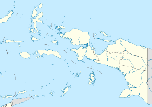
Quadratische Plattkarte. Geographische Begrenzung der Karte:
Equirectangular projection. Geographic limits of the map:
|
|
| දිනය | ||
| මූලාශ්රය |
ස්වයං නිර්මාණයකි, using
|
|
| කර්තෘ | NordNordWest | |
| අවසරය (මෙම ගොනුව නැවත භාවිතා කරමින්) |
මෙම ගොනුව උත්පාදක සාර්වයන් Attribution-Share Alike 3.0 Germany වරපත යටතේ අවසර ලබා ඇත.
 මෙම ගොනුව උත්පාදක සාර්වයන් Attribution-Share Alike 3.0 Germany වරපත යටතේ අවසර ලබා ඇත.
|


|
This map has been made or improved in the German Kartenwerkstatt (Map Lab). You can propose maps to improve as well.
|
ගොනු ඉතිහාසය
එම අවස්ථාවෙහිදී ගොනුව පැවැති ආකාරය නැරඹීමට දිනය/වේලාව මත ක්ලික් කරන්න.
| දිනය/වේලාව | කුඩා-රූපය | මාන | පරිශීලක | පරිකථනය | |
|---|---|---|---|---|---|
| වත්මන් | 14:42, 22 ඔක්තෝබර් 2022 | | 1,472 × 1,034 (544 කි.බ.) | Afrogindahood | Addition of new provinces in Western New Guinea |
| 18:24, 19 පෙබරවාරි 2010 |  | 1,472 × 1,033 (873 කි.බ.) | NordNordWest | =={{int:filedesc}}== {{Information |Description= {{de|Positionskarte der Molukken und von West-Neuguinea, Indonesien}} Quadratische Plattkarte. Geographische Begrenzung der Karte: * N: 3.0° N * S |
ගොනු භාවිතය
පහත දැක්වෙන පිටු 2 ක් විසින් මෙම ගොනුව භාවිතා කෙරෙයි:
ගෝලීය ගොනු භාවිතය
පහත දැක්වෙන අනෙකුත් විකියන් මගින් මෙම ගොනුව භාවිතා කරයි:
- ar.wikipedia.org හි භාවිතය
- az.wikipedia.org හි භාවිතය
- ba.wikipedia.org හි භාවිතය
- ca.wikipedia.org හි භාවිතය
- ceb.wikipedia.org හි භාවිතය
- en.wikipedia.org හි භාවිතය
- eo.wikipedia.org හි භාවිතය
- es.wikipedia.org හි භාවිතය
- fa.wikipedia.org හි භාවිතය
- hy.wikipedia.org හි භාවිතය
- id.wikipedia.org හි භාවිතය
- Kabupaten Biak Numfor
- Kota Jayapura
- Kabupaten Jayapura
- Kabupaten Jayawijaya
- Kabupaten Merauke
- Kabupaten Mimika
- Kabupaten Paniai
- Kabupaten Sorong
- Kabupaten Kepulauan Yapen
- Kota Ambon
- Kabupaten Maluku Tengah
- Kabupaten Maluku Tenggara
- Kota Ternate
- Kabupaten Halmahera Tengah
- Kabupaten Kepulauan Tanimbar
- Kabupaten Sorong Selatan
- Kabupaten Halmahera Barat
- Kabupaten Buru
- Kabupaten Kepulauan Aru
- Kabupaten Seram Bagian Barat
- Kabupaten Seram Bagian Timur
- Kabupaten Halmahera Selatan
මෙම ගොනුවේ තවත් ගෝලීය භාවිත බලන්න.