
ගොනුව:Indonesia Lesser Sunda Islands location map.svg

මුල් ගොනුව (SVG ගොනුව, නාමමාත්රිකව 1,323 × 668 පික්සල්, ගොනු විශාලත්වය: 211 කි.බ.)
සාරාංශය
| විස්තරය |
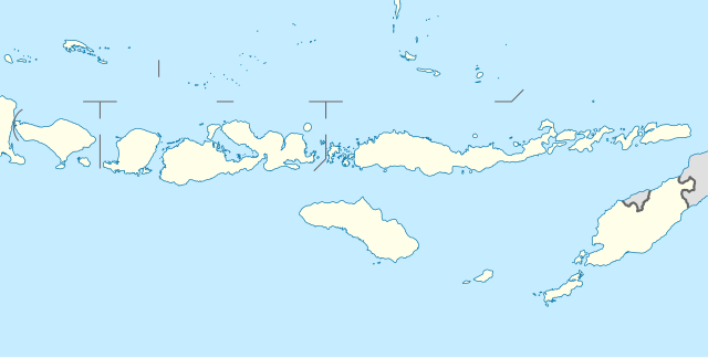
Quadratische Plattkarte, N-S-Streckung 101 %. Geographische Begrenzung der Karte:
Equirectangular projection, N/S stretching 101 %. Geographic limits of the map:
|
||
| දිනය | |||
| මූලාශ්රය |
ස්වයං නිර්මාණයකි, using
|
||
| කර්තෘ | NordNordWest | ||
| අවසරය (මෙම ගොනුව නැවත භාවිතා කරමින්) |
මෙම ගොනුව උත්පාදක සාර්වයන් Attribution-Share Alike 3.0 Germany වරපත යටතේ අවසර ලබා ඇත.
 මෙම ගොනුව උත්පාදක සාර්වයන් Attribution-Share Alike 3.0 Germany වරපත යටතේ අවසර ලබා ඇත.
|
||
| අනෙකුත් අනුවාදයන් | Derivative works of this file: Corvus florensis range map.svg | ||
| SVG genesis | This map was created with unknown tool.
|


ගොනු ඉතිහාසය
එම අවස්ථාවෙහිදී ගොනුව පැවැති ආකාරය නැරඹීමට දිනය/වේලාව මත ක්ලික් කරන්න.
| දිනය/වේලාව | කුඩා-රූපය | මාන | පරිශීලක | පරිකථනය | |
|---|---|---|---|---|---|
| වත්මන් | 11:33, 18 පෙබරවාරි 2011 | | 1,323 × 668 (211 කි.බ.) | NordNordWest | c |
| 20:08, 19 පෙබරවාරි 2010 |  | 1,323 × 668 (277 කි.බ.) | NordNordWest | =={{int:filedesc}}== {{Information |Description= {{de|Positionskarte der Kleinen Sunda-Inseln, Indonesien}} Quadratische Plattkarte, N-S-Streckung 101 %. Geographische Begrenzung der Karte: * N: 6.2° S * S: |
ගොනු භාවිතය
පහත දැක්වෙන පිටු 2 ක් විසින් මෙම ගොනුව භාවිතා කෙරෙයි:
ගෝලීය ගොනු භාවිතය
පහත දැක්වෙන අනෙකුත් විකියන් මගින් මෙම ගොනුව භාවිතා කරයි:
- az.wikipedia.org හි භාවිතය
- ban.wikipedia.org හි භාවිතය
- ba.wikipedia.org හි භාවිතය
- bn.wikipedia.org හි භාවිතය
- cs.wikipedia.org හි භාවිතය
- de.wikipedia.org හි භාවිතය
- Kuta
- Gili-Inseln
- Flores (Indonesien)
- Sumbawa
- Kupang
- Komodo (Insel)
- Lombokstraße
- Rinjani
- Kelimutu (Berg)
- Lembata
- Waingapu
- Wehali
- Laran
- Borong
- Fatu Sinai
- Sawu
- Solor
- Larantuka
- Labuan Bajo
- Atambua
- Semau
- Egon (Vulkan)
- Adonara
- Gili Meno
- Nusa Penida
- Wikipedia:Kartenwerkstatt/Positionskarten/Asien
- Gili Air
- Pantar (Insel)
- Atapupu
- Mena (Biboki Moenleu)
- Straße von Alor
- Penfui
- Batur (Vulkan)
- Vorlage:Positionskarte Indonesien Kleine Sundainseln
- Moyo (Insel)
- Poco Mandasawu
- Ende (Flores)
මෙම ගොනුවේ තවත් ගෝලීය භාවිත බලන්න.