
ගොනුව:India satellite image.png

මෙම පෙරදසුනෙහි විශාලත්වය: 800 × 592 පික්සල. අනෙකුත් විභේදනයන්: 320 × 237 පික්සල | 640 × 474 පික්සල | 1,024 × 758 පික්සල | 1,278 × 946 පික්සල.
මුල් ගොනුව (1,278 × 946 පික්සල, ගොනු විශාලත්වය: 1.51 මෙ.බ., MIME ශෛලිය: image/png)
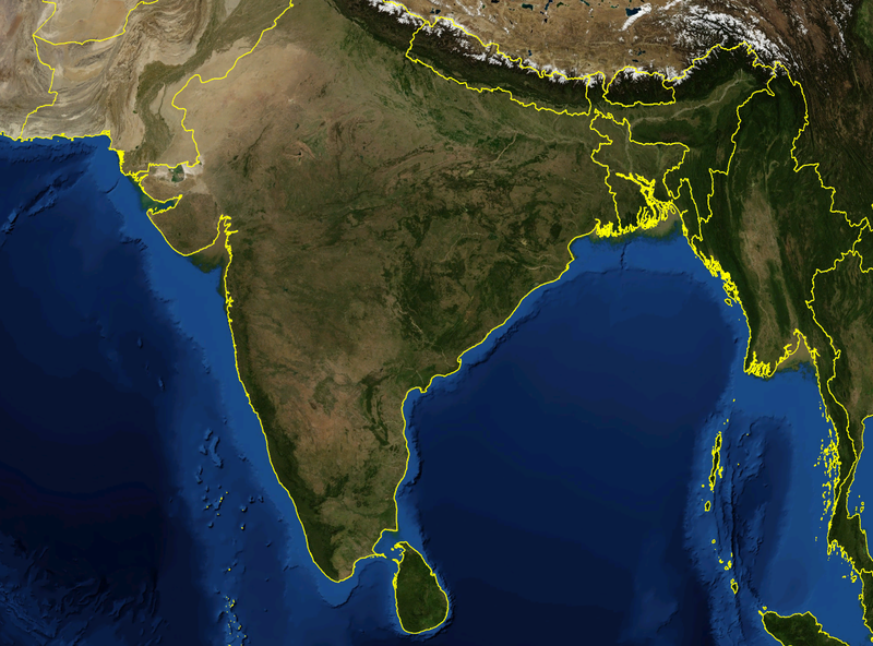
| විස්තරය | Satellite image of India and surrounding regions | |||
| දිනය | ||||
| මූලාශ්රය | ස්වයං නිර්මාණයකි | |||
| කර්තෘ | Mgiganteus | |||
| අවසරය (මෙම ගොනුව නැවත භාවිතා කරමින්) |
|

| Annotations | This image is annotated: View the annotations at Commons |
ගොනු ඉතිහාසය
එම අවස්ථාවෙහිදී ගොනුව පැවැති ආකාරය නැරඹීමට දිනය/වේලාව මත ක්ලික් කරන්න.
| දිනය/වේලාව | කුඩා-රූපය | මාන | පරිශීලක | පරිකථනය | |
|---|---|---|---|---|---|
| වත්මන් | 14:21, 28 නොවැම්බර් 2007 | | 1,278 × 946 (1.51 මෙ.බ.) | Mgiganteus | {{Information |Description=Satellite image of India and surrounding regions |Source=self-made |Date=2007 |Author= Mgiganteus |Permission={{PD-WorldWind}} |other_versions= }} Category:Maps of India Category:South Asia [[Categor |
ගොනු භාවිතය
පහත දැක්වෙන පිටු 2 ක් විසින් මෙම ගොනුව භාවිතා කෙරෙයි:
ගෝලීය ගොනු භාවිතය
පහත දැක්වෙන අනෙකුත් විකියන් මගින් මෙම ගොනුව භාවිතා කරයි:
- af.wikipedia.org හි භාවිතය
- ar.wikipedia.org හි භාවිතය
- ast.wikipedia.org හි භාවිතය
- ba.wikipedia.org හි භාවිතය
- be-tarask.wikipedia.org හි භාවිතය
- ca.wikipedia.org හි භාවිතය
- cy.wikipedia.org හි භාවිතය
- diq.wikipedia.org හි භාවිතය
- en.wikipedia.org හි භාවිතය
- 1932 in India
- 1822 in India
- 1934 in India
- 1937 in India
- 1870 in India
- 1946 in India
- 1911 in India
- 1939 in India
- 1945 in India
- 1943 in India
- 1931 in India
- 1941 in India
- 1857 in India
- 1906 in India
- 1944 in India
- 1930 in India
- 1889 in India
- 1942 in India
- 1874 in India
- 1922 in India
- 1936 in India
- 1905 in India
- 1940 in India
- 1935 in India
- 1921 in India
- 1885 in India
- 1869 in India
- 1875 in India
- 1938 in India
- 1853 in India
- 1818 in India
- 1877 in India
- 1919 in India
- 1861 in India
- 1923 in India
- 1924 in India
- 1925 in India
- 1907 in India
- User talk:Attenboroughii
- 1876 in India
- 1917 in India
- 1914 in India
මෙම ගොනුවේ තවත් ගෝලීය භාවිත බලන්න.