
ගොනුව:Equatorial Guinea physical map.svg

Size of this PNG preview of this SVG file: 628 × 600 පික්සල. අනෙකුත් විභේදනයන්: 251 × 240 පික්සල | 502 × 480 පික්සල | 804 × 768 පික්සල | 1,072 × 1,024 පික්සල | 2,144 × 2,048 පික්සල | 851 × 813 පික්සල.
මුල් ගොනුව (SVG ගොනුව, නාමමාත්රිකව 851 × 813 පික්සල්, ගොනු විශාලත්වය: 932 කි.බ.)
සාරාංශය
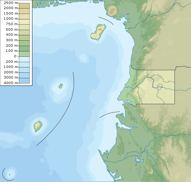
| විස්තරය | Equatorial Guinea physical map, parameters equal to File:Equatorial Guinea location map.svg |
| දිනය | |
| මූලාශ්රය | ස්වයං නිර්මාණයකි |
| කර්තෘ | Urutseg |
| අනෙකුත් අනුවාදයන් | Derivative works of this file: São Tomé and Príncipe physical map.svg |
බලපත්රීකරණය
මෙම කෘතියෙහි හිමිකම් අයිතීන් දරන්නා වන මම,පහත වරපත යටතේ එය ප්රකාශයට පත් කරමි:
| මෙම ගොනුව Creative Commons යටතේ ලබාගත හැකි කොට ඇත. CC0 1.0 Universal Public Domain Dedication. | |
| කාර්යයක් මෙම ඔප්පුව සමග සබඳින පුද්ගලයෙකු ප්රතිරූපණ අයිතිය හා ඒ හා සබැඳිහා ඊට ආසන්න නීතීන්ට යටත්ව ඒ නීතින් ඉඩ දෙන තරමින් තමන්ගේ අයිතීන් ප්රතික්ෂේප කරමින් එම කාර්යයන් ලෝක ව්යාප්තව public domain වෙත නිදහස් කරයි. ඔබට එම කාර්යයන් අවසර විමසීමකින් තොරව පිටපත් කරන්නට, වෙනස් කරන්නට, බෙදාහරින්නට, භාවිතා කරන්නට වාණිජ පරමාර්ථයකින් වුවද හැකිය.
|
ගොනු ඉතිහාසය
එම අවස්ථාවෙහිදී ගොනුව පැවැති ආකාරය නැරඹීමට දිනය/වේලාව මත ක්ලික් කරන්න.
| දිනය/වේලාව | කුඩා-රූපය | මාන | පරිශීලක | පරිකථනය | |
|---|---|---|---|---|---|
| වත්මන් | 20:10, 12 මැයි 2022 | | 851 × 813 (932 කි.බ.) | NordNordWest | districts update |
| 05:51, 16 මාර්තු 2011 |  | 851 × 813 (891 කි.බ.) | Urutseg |
ගොනු භාවිතය
පහත දැක්වෙන පිටු 2 ක් විසින් මෙම ගොනුව භාවිතා කෙරෙයි:
ගෝලීය ගොනු භාවිතය
පහත දැක්වෙන අනෙකුත් විකියන් මගින් මෙම ගොනුව භාවිතා කරයි:
- ar.wikipedia.org හි භාවිතය
- ast.wikipedia.org හි භාවිතය
- be-tarask.wikipedia.org හි භාවිතය
- bg.wikipedia.org හි භාවිතය
- bn.wikipedia.org හි භාවිතය
- bs.wikipedia.org හි භාවිතය
- ca.wikipedia.org හි භාවිතය
- ceb.wikipedia.org හි භාවිතය
- ce.wikipedia.org හි භාවිතය
- ckb.wikipedia.org හි භාවිතය
- cs.wikipedia.org හි භාවිතය
- da.wikipedia.org හි භාවිතය
- de.wikipedia.org හි භාවිතය
- Äquatorialguinea
- Bioko
- Annobón
- Corisco
- Elobey Chico
- Elobey Grande
- Horacio (Insel)
- Pico Basile
- Vorlage:Positionskarte Äquatorialguinea
- Wikipedia:Kartenwerkstatt/Positionskarten/Afrika
- Pico Quioveo
- Vorlage:Positionskarte Äquatorialguinea Región Continental
- Liste von Kraftwerken in Äquatorialguinea
- Kraftwerk Djibloho
- Kraftwerk Sendje
- San Carlos (Äquatorialguinea)
- Cascada Mandoc
- Rápidos Asoc-Bisón
- Parque nacional de Los Altos de Nsork
- Parque nacional de Pico Basilé
- Parque nacional de Monte Alén
- Lago Claret
- Caldera de Bonyoma
- Islas de Elobey
මෙම ගොනුවේ තවත් ගෝලීය භාවිත බලන්න.