
ගොනුව:Barbados location map.svg

Size of this PNG preview of this SVG file: 539 × 599 පික්සල. අනෙකුත් විභේදනයන්: 216 × 240 පික්සල | 432 × 480 පික්සල | 691 × 768 පික්සල | 921 × 1,024 පික්සල | 1,843 × 2,048 පික්සල | 1,205 × 1,339 පික්සල.
මුල් ගොනුව (SVG ගොනුව, නාමමාත්රිකව 1,205 × 1,339 පික්සල්, ගොනු විශාලත්වය: 125 කි.බ.)
සාරාංශය
| විස්තරය |
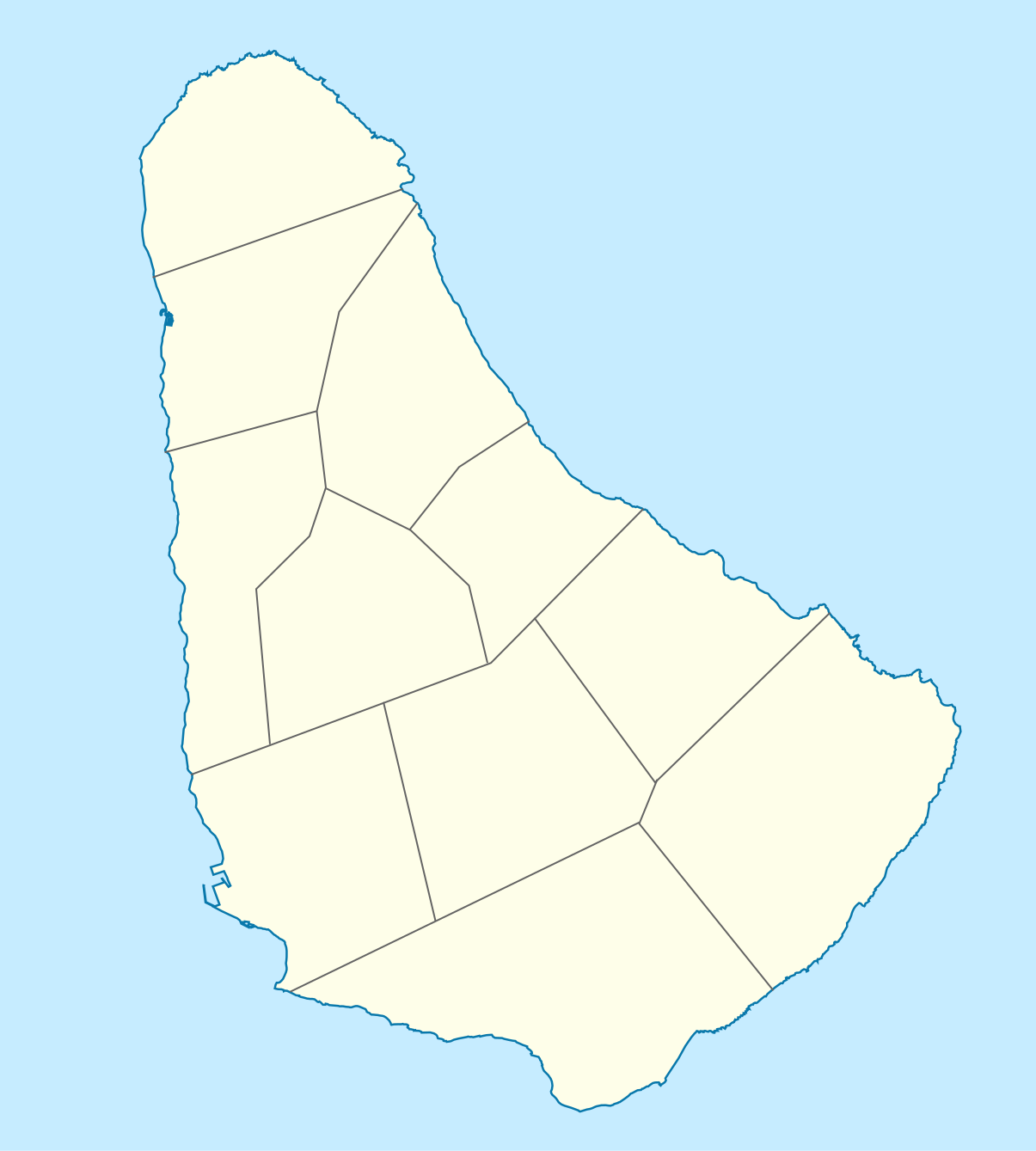
Deutsch: Positionskarte von Barbados. Geographische Begrenzungen der Karte:
English: Location map of Barbados. Geographic limits of the map:
|
| දිනය | |
| මූලාශ්රය |
ස්වයං නිර්මාණයකි, using
|
| කර්තෘ |
Graphic made by Carport |
බලපත්රීකරණය
මෙම ගොනුව නිර්මාණශීලී පොදුවූවන් Attribution-Share Alike 2.0 Generic බලපත්රය යටතේ අවසර ලබා ඇත.
- ඔබ නිදහස්:
- බෙදාහදා ගැනීමට – කාර්යය පිටපත් කිරීමට,බෙදා හැරීමට සහ සම්ප්රේෂණය කිරීමට
- නැවත සංකලනය කිරීමට – කාර්යයට අනුවර්තනය වීමට
- පහත කොන්දේසිවලට යටත්ව:
- attribution – වරපත වෙත බැඳියක්ද සපයමින් ඔබ විසින් සුදුසු කර්තෘභාරය ප්රදානය කල යුතු අතර, කිසියම් වෙනස්වීම් සිදුකලේ නම් එයද සඳහන් කල යුතු වෙයි. ඕනෑම සුදුසු ආකාරයට මෙය ඔබ විසින් සිදුකල හැකි මුත්, වරපත්දායකයා විසින් ඔබ හෝ ඔබගේ භාවිතය හෝ පිටසන් කරන බවට ඇඟවෙන ලෙසින් එය සිදු නොකල යුතු වෙයි.
- share alike – මෙම විෂය කාරණා භාවිතා කොට නැවත සංකලනය, ප්රතියෝජනය හෝ වැඩිදියුණුව කලේ නම්, ඉන්පසු ඔබගේ දායකත්වය ඔබ විසින් බෙදාහැරිය යුත්තේ මුල් වරපත හා සමාන හෝ සංගතික හෝ වරපතක් භාවිතා කරමිනි.
ගොනු ඉතිහාසය
එම අවස්ථාවෙහිදී ගොනුව පැවැති ආකාරය නැරඹීමට දිනය/වේලාව මත ක්ලික් කරන්න.
| දිනය/වේලාව | කුඩා-රූපය | මාන | පරිශීලක | පරිකථනය | |
|---|---|---|---|---|---|
| වත්මන් | 14:12, 22 නොවැම්බර් 2009 | | 1,205 × 1,339 (125 කි.බ.) | Carport | {{Information |Description={{de|1=Positionskarte von {{w|Barbados|Barbados|de}}. Geographische Begrenzungen der Karte: * N: 13.349° N * S: 13,034° N * W: 59,690° W * E: 59,399° W}} {{en|1=Location map of {{w|Barbados}}. Geographic limits of the map: |
ගොනු භාවිතය
පහත දැක්වෙන පිටු 2 ක් විසින් මෙම ගොනුව භාවිතා කෙරෙයි:
ගෝලීය ගොනු භාවිතය
පහත දැක්වෙන අනෙකුත් විකියන් මගින් මෙම ගොනුව භාවිතා කරයි:
- af.wikipedia.org හි භාවිතය
- als.wikipedia.org හි භාවිතය
- an.wikipedia.org හි භාවිතය
- ar.wikipedia.org හි භාවිතය
- ast.wikipedia.org හි භාවිතය
- az.wikipedia.org හි භාවිතය
- ba.wikipedia.org හි භාවිතය
- be.wikipedia.org හි භාවිතය
- bg.wikipedia.org හි භාවිතය
- bn.wikipedia.org හි භාවිතය
- bs.wikipedia.org හි භාවිතය
- ceb.wikipedia.org හි භාවිතය
- Plantilya:Location map Barbados
- South Point
- Saint Philip
- Saint John
- Saint George
- Pelican Island
- Pelican Islet
- Long Bay
- Crab Hill
- North Point
- Mount Misery
- Round Rock
- Green Point
- Indian River
- Bell Point
- Christchurch (pagklaro)
- Lambert Point
- Horse Hill
- Bridgetown
- Freshwater Bay
- Saint Andrews
- Greenland
- Cave Bay
මෙම ගොනුවේ තවත් ගෝලීය භාවිත බලන්න.