
ගොනුව:Austria Styria adm location map.svg

මුල් ගොනුව (SVG ගොනුව, නාමමාත්රිකව 1,199 × 852 පික්සල්, ගොනු විශාලත්වය: 637 කි.බ.)
සාරාංශය
| විස්තරය |
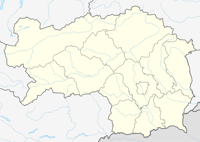
Deutsch: Positionskarte der Steiermark, Österreich
English: Location map of Styria, Austria
|
||||||||||||
| දිනය | |||||||||||||
| මූලාශ්රය |
Own work using:
|
||||||||||||
| කර්තෘ | NordNordWest | ||||||||||||
| අනෙකුත් අනුවාදයන් |
|
||||||||||||
| SVG genesis | This locator map was created with Adobe Illustrator.
|
||||||||||||
_adm_location_map.svg)

බලපත්රීකරණය
Usage of this file with:

explanatory notes: Legally binding is only the full legalcode. For a free usage I recommend to respect the following licence conditions:
1. Provide my name as given above: NordNordWest,
2. a copy of, or the URI for, the applicable license: https://creativecommons.org/licenses/by-sa/3.0/de/legalcode,
3. the title of the work,
4. in the case of an adaptation, a credit identifying the use of the work in the adaptation.
This license and the rights granted hereunder will terminate automatically upon any breach by you of the terms of this license. Any of the above conditions can be waived if you get permission from the copyright holder. If you have questions or wish differing conditions, please contact me through nnwest or my discussion page ![]() t-online.de
t-online.de
- ඔබ නිදහස්:
- බෙදාහදා ගැනීමට – කාර්යය පිටපත් කිරීමට,බෙදා හැරීමට සහ සම්ප්රේෂණය කිරීමට
- නැවත සංකලනය කිරීමට – කාර්යයට අනුවර්තනය වීමට
- පහත කොන්දේසිවලට යටත්ව:
- attribution – වරපත වෙත බැඳියක්ද සපයමින් ඔබ විසින් සුදුසු කර්තෘභාරය ප්රදානය කල යුතු අතර, කිසියම් වෙනස්වීම් සිදුකලේ නම් එයද සඳහන් කල යුතු වෙයි. ඕනෑම සුදුසු ආකාරයට මෙය ඔබ විසින් සිදුකල හැකි මුත්, වරපත්දායකයා විසින් ඔබ හෝ ඔබගේ භාවිතය හෝ පිටසන් කරන බවට ඇඟවෙන ලෙසින් එය සිදු නොකල යුතු වෙයි.
- share alike – මෙම විෂය කාරණා භාවිතා කොට නැවත සංකලනය, ප්රතියෝජනය හෝ වැඩිදියුණුව කලේ නම්, ඉන්පසු ඔබගේ දායකත්වය ඔබ විසින් බෙදාහැරිය යුත්තේ මුල් වරපත හා සමාන හෝ සංගතික හෝ වරපතක් භාවිතා කරමිනි.

ගොනු ඉතිහාසය
එම අවස්ථාවෙහිදී ගොනුව පැවැති ආකාරය නැරඹීමට දිනය/වේලාව මත ක්ලික් කරන්න.
| දිනය/වේලාව | කුඩා-රූපය | මාන | පරිශීලක | පරිකථනය | |
|---|---|---|---|---|---|
| වත්මන් | 15:46, 30 දෙසැම්බර් 2019 | | 1,199 × 852 (637 කි.බ.) | NordNordWest | upd |
| 12:20, 1 ජනවාරි 2015 |  | 1,199 × 852 (626 කි.බ.) | NordNordWest | == {{int:filedesc}} == {{Information |Description= {{de|1=Positionskarte der Steiermark, Österreich}} {{en|1=Location map of Styria, Austria}} {{Location map series N |stretching=– |top=47.8849333 |bottom=46.57305 |left=13.5085305 |right=16.2235138... |
ගොනු භාවිතය
පහත දැක්වෙන පිටු 2 ක් විසින් මෙම ගොනුව භාවිතා කෙරෙයි:
ගෝලීය ගොනු භාවිතය
පහත දැක්වෙන අනෙකුත් විකියන් මගින් මෙම ගොනුව භාවිතා කරයි:
- de.wikipedia.org හි භාවිතය
- Heilbrunn (Gemeinde Anger)
- Flughafen Graz
- Frauenmauerhöhle
- Katerloch
- Schwarzmooskogel-Höhlensystem
- Gruabn
- Grasslhöhle
- Hüttstatthöhle
- Franz-Fekete-Stadion
- DÖF-Sonnenleiter-Höhlensystem
- Grubstein-Westwandhöhle
- Merkur Arena (Graz)
- Tierwelt Herberstein
- Südwandhöhle
- Benutzer:Tigerente/Baustelle
- Shopping City Seiersberg
- Eisstadion Graz-Liebenau
- Ski amadé
- Rettenwandhöhle
- Kraushöhle
- Drachenhöhle bei Mixnitz
- Odelsteinhöhle
- Badlhöhle
- Lurgrotte
- Repolusthöhle
- Dampfkraftwerk Voitsberg
- Schönberg-Höhlensystem
- Sportzentrum Zeltweg
- Panoramastadion (Bad Aussee)
- Wassermannsloch
- KLH-Arena
- Tauernwindpark
- Leoben City Shopping
- Vorlage:Positionskarte Österreich Steiermark
- Räuberhöhle (Spital am Semmering)
- Profertil Arena Hartberg
- Skigebiet Dachsteingletscher
- Krankenhaus der Elisabethinen Graz
- Einkaufszentrum Murpark
- Böhler Bleche
- Sportstadion Marktgemeinde Gratkorn
- Dekanat Graz-Mitte
- Dekanat Graz-Nord
- Fernheizkraftwerk Neudorf-Werndorf
- Flugplatz Fürstenfeld
- Flugplatz Niederöblarn
- Rechenbrücke
- Österreichische Fußballmeisterschaft 2012/13
- Gas- und Dampfkraftwerk Mellach
මෙම ගොනුවේ තවත් ගෝලීය භාවිත බලන්න.