
ගොනුව:Austria Carinthia relief location map.svg

මුල් ගොනුව (SVG ගොනුව, නාමමාත්රිකව 1,342 × 792 පික්සල්, ගොනු විශාලත්වය: 2.37 මෙ.බ.)
සාරාංශය
| විස්තරය |
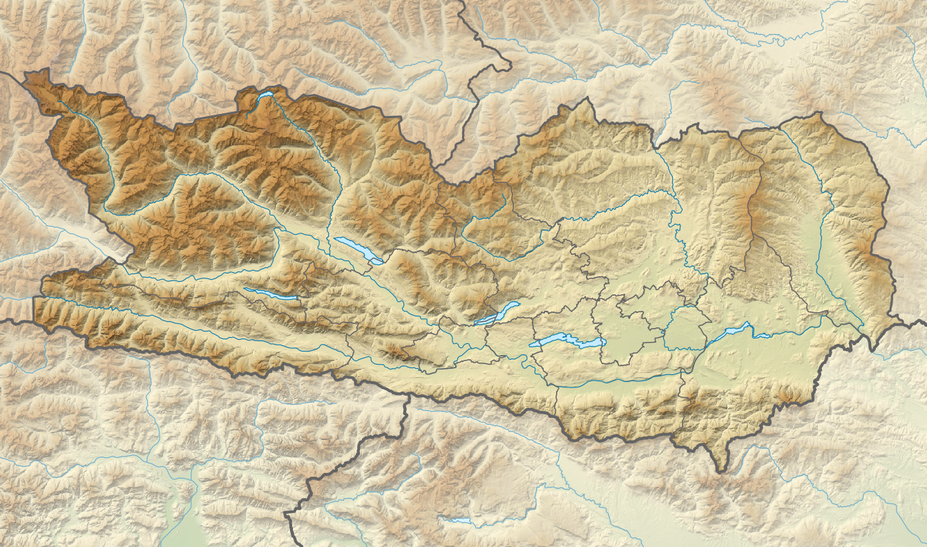
Deutsch: Positionskarte von Kärnten, Österreich.
Quadratische Plattkarte. Geographische Begrenzung der Karte:
English: Location map of Carinthia, Austria.
Equirectangular projection. Geographic limits of the map:
|
| දිනය | |
| මූලාශ්රය |
ස්වයං නිර්මාණයකි, using
|
| කර්තෘ | NordNordWest |
| අනෙකුත් අනුවාදයන් |
|


|
This map has been made or improved in the German Kartenwerkstatt (Map Lab). You can propose maps to improve as well.
|
බලපත්රීකරණය
Usage of this file with:

explanatory notes: Legally binding is only the full legalcode. For a free usage I recommend to respect the following licence conditions:
1. Provide my name as given above: NordNordWest,
2. a copy of, or the URI for, the applicable license: https://creativecommons.org/licenses/by-sa/3.0/de/legalcode,
3. the title of the work,
4. in the case of an adaptation, a credit identifying the use of the work in the adaptation.
This license and the rights granted hereunder will terminate automatically upon any breach by you of the terms of this license. Any of the above conditions can be waived if you get permission from the copyright holder. If you have questions or wish differing conditions, please contact me through nnwest or my discussion page ![]() t-online.de
t-online.de
- ඔබ නිදහස්:
- බෙදාහදා ගැනීමට – කාර්යය පිටපත් කිරීමට,බෙදා හැරීමට සහ සම්ප්රේෂණය කිරීමට
- නැවත සංකලනය කිරීමට – කාර්යයට අනුවර්තනය වීමට
- පහත කොන්දේසිවලට යටත්ව:
- attribution – වරපත වෙත බැඳියක්ද සපයමින් ඔබ විසින් සුදුසු කර්තෘභාරය ප්රදානය කල යුතු අතර, කිසියම් වෙනස්වීම් සිදුකලේ නම් එයද සඳහන් කල යුතු වෙයි. ඕනෑම සුදුසු ආකාරයට මෙය ඔබ විසින් සිදුකල හැකි මුත්, වරපත්දායකයා විසින් ඔබ හෝ ඔබගේ භාවිතය හෝ පිටසන් කරන බවට ඇඟවෙන ලෙසින් එය සිදු නොකල යුතු වෙයි.
- share alike – මෙම විෂය කාරණා භාවිතා කොට නැවත සංකලනය, ප්රතියෝජනය හෝ වැඩිදියුණුව කලේ නම්, ඉන්පසු ඔබගේ දායකත්වය ඔබ විසින් බෙදාහැරිය යුත්තේ මුල් වරපත හා සමාන හෝ සංගතික හෝ වරපතක් භාවිතා කරමිනි.

ගොනු ඉතිහාසය
එම අවස්ථාවෙහිදී ගොනුව පැවැති ආකාරය නැරඹීමට දිනය/වේලාව මත ක්ලික් කරන්න.
| දිනය/වේලාව | කුඩා-රූපය | මාන | පරිශීලක | පරිකථනය | |
|---|---|---|---|---|---|
| වත්මන් | 17:32, 6 ඔක්තෝබර් 2013 | | 1,342 × 792 (2.37 මෙ.බ.) | NordNordWest | corr |
| 16:53, 6 ඔක්තෝබර් 2013 |  | 1,342 × 792 (2.37 මෙ.බ.) | NordNordWest | == {{int:filedesc}} == {{Information |Description= {{de|1=Positionskarte von Kärnten, Österreich. Quadratische Plattkarte. Geographische Begrenzung der Karte: * N: 47.260053° N * S: 46.232250° N * W: 12.592633° O * O: 15.135427° ... |
ගොනු භාවිතය
පහත දැක්වෙන පිටු 2 ක් විසින් මෙම ගොනුව භාවිතා කෙරෙයි:
ගෝලීය ගොනු භාවිතය
පහත දැක්වෙන අනෙකුත් විකියන් මගින් මෙම ගොනුව භාවිතා කරයි:
- ca.wikipedia.org හි භාවිතය
- de.wikipedia.org හි භාවිතය
- Wörthersee
- Gailtal
- Magdalensberg (Berg)
- Faaker See
- Säuleck
- Ankogel
- Wolayerseehütte
- Katschtal (Kärnten)
- Mölltal
- Danielsberg
- Weißensee (See in Kärnten)
- Ossiacher See
- Afritzer See
- Burgruine Gradenegg
- Burgruine Straßfried
- Burgruine Hardegg
- Burgruine Aichelberg (Wernberg)
- Burgruine Feldsberg
- Burgruine Hohenburg (Pusarnitz)
- Burg Liebenfels (Kärnten)
- Burgruine Liemberg
- Burgruine Federaun
- Lavanttal
- Jauntal
- Hochstuhl
- Millstätter See
- Klopeiner See
- Keutschacher See
- Seebergsattel
- Dobratsch
- Maltakraftwerke
- Pyramidenkogel
- Petzen (Bergmassiv)
- Forstsee
- Längsee (Kärnten)
- Bärental (Kärnten)
- Goggausee
- Kraftwerk Forstsee
- Arthur-von-Schmid-Haus
- Aichwaldsee
- Baßgeigensee
- Brennsee
- Falkertsee
- Farchtensee
- Ferlacher Badesee
මෙම ගොනුවේ තවත් ගෝලීය භාවිත බලන්න.