
ගොනුව:Australia Victoria Strathbogie Shire location map.svg

Size of this PNG preview of this SVG file: 533 × 388 පික්සල. අනෙකුත් විභේදනයන්: 320 × 233 පික්සල | 640 × 466 පික්සල | 1,024 × 745 පික්සල | 1,280 × 932 පික්සල | 2,560 × 1,864 පික්සල.
මුල් ගොනුව (SVG ගොනුව, නාමමාත්රිකව 533 × 388 පික්සල්, ගොනු විශාලත්වය: 536 කි.බ.)
| විස්තරය |
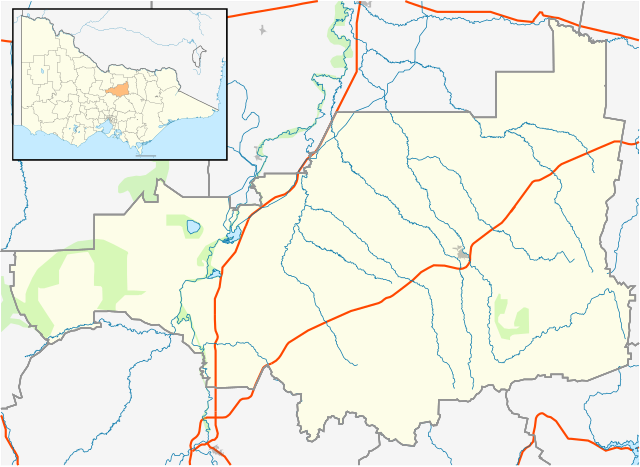
English: Blank map of w:Strathbogie Shire, Victoria, Australia, with the following information shown:
Geographic limits:
|
||
| මූලාශ්රය | ස්වයං නිර්මාණයකි + VicMap Lite | ||
| කර්තෘ | Cassowary |

ගොනු ඉතිහාසය
එම අවස්ථාවෙහිදී ගොනුව පැවැති ආකාරය නැරඹීමට දිනය/වේලාව මත ක්ලික් කරන්න.
| දිනය/වේලාව | කුඩා-රූපය | මාන | පරිශීලක | පරිකථනය | |
|---|---|---|---|---|---|
| වත්මන් | 15:24, 18 පෙබරවාරි 2011 | | 533 × 388 (536 කි.බ.) | Cassowary | {{Information |Description ={{en|1=Blank map of w:Strathbogie Shire, Victoria, Australia, with the following information shown: * LGA boundaries * Coastline, lakes and rivers * Highways and freeways * Urban areas * Parks Geographic limits: * North |
ගොනු භාවිතය
පහත දැක්වෙන පිටු 2 ක් විසින් මෙම ගොනුව භාවිතා කෙරෙයි:
ගෝලීය ගොනු භාවිතය
පහත දැක්වෙන අනෙකුත් විකියන් මගින් මෙම ගොනුව භාවිතා කරයි:
- ar.wikipedia.org හි භාවිතය
- ceb.wikipedia.org හි භාවිතය
- en.wikipedia.org හි භාවිතය
- Shire of Strathbogie
- Euroa
- Violet Town
- Strathbogie, Victoria
- Avenel, Victoria
- Upotipotpon, Victoria
- Baddaginnie, Victoria
- Nagambie
- Template:Towns in Strathbogie Shire
- Longwood, Victoria
- Ruffy, Victoria
- Mangalore, Victoria
- Module:Location map/data/Australia Victoria Shire of Strathbogie/doc
- User:Diggers2004/sandbox
- Locksley, Victoria
- Mount Teneriffe
- Miepoll
- Whroo
- Graytown, Victoria
- Moorilim
- Kirwans Bridge, Victoria
- Mitchellstown
- Wahring, Victoria
- Module:Location map/data/Australia Victoria Shire of Strathbogie
- Tabilk
- User:Viatori/sandbox
- User:ThylacineHunter/LGA
- fa.wikipedia.org හි භාවිතය
- kn.wikipedia.org හි භාවිතය
- simple.wikipedia.org හි භාවිතය
- tr.wikipedia.org හි භාවිතය
- uz.wikipedia.org හි භාවිතය
- war.wikipedia.org හි භාවිතය