
ගොනුව:Australia Northern Territory location map blank.svg

මුල් ගොනුව (SVG ගොනුව, නාමමාත්රිකව 1,134 × 1,577 පික්සල්, ගොනු විශාලත්වය: 493 කි.බ.)
| විස්තරය |
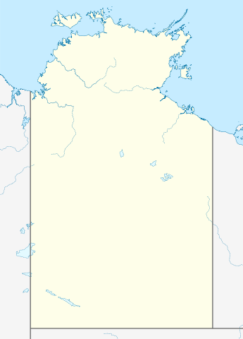
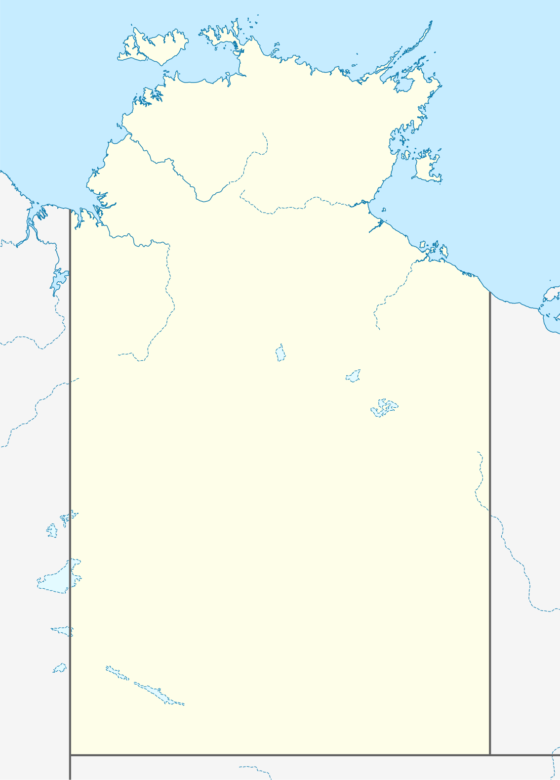
Quadratische Plattkarte, N-S-Streckung 105 %. Geographische Begrenzung der Karte:
Equirectangular projection, N/S stretching 105 %. Geographic limits of the map:
|
|
| දිනය | (UTC) | |
| මූලාශ්රය |
|
|
| කර්තෘ |
|
|
| අවසරය (මෙම ගොනුව නැවත භාවිතා කරමින්) |
මෙම ගොනුව උත්පාදක සාර්වයන් Attribution-Share Alike 3.0 Germany වරපත යටතේ අවසර ලබා ඇත.
 |


|
This map has been made or improved in the German Kartenwerkstatt (Map Lab). You can propose maps to improve as well.
|
- ඔබ නිදහස්:
- බෙදාහදා ගැනීමට – කාර්යය පිටපත් කිරීමට,බෙදා හැරීමට සහ සම්ප්රේෂණය කිරීමට
- නැවත සංකලනය කිරීමට – කාර්යයට අනුවර්තනය වීමට
- පහත කොන්දේසිවලට යටත්ව:
- attribution – වරපත වෙත බැඳියක්ද සපයමින් ඔබ විසින් සුදුසු කර්තෘභාරය ප්රදානය කල යුතු අතර, කිසියම් වෙනස්වීම් සිදුකලේ නම් එයද සඳහන් කල යුතු වෙයි. ඕනෑම සුදුසු ආකාරයට මෙය ඔබ විසින් සිදුකල හැකි මුත්, වරපත්දායකයා විසින් ඔබ හෝ ඔබගේ භාවිතය හෝ පිටසන් කරන බවට ඇඟවෙන ලෙසින් එය සිදු නොකල යුතු වෙයි.
- share alike – මෙම විෂය කාරණා භාවිතා කොට නැවත සංකලනය, ප්රතියෝජනය හෝ වැඩිදියුණුව කලේ නම්, ඉන්පසු ඔබගේ දායකත්වය ඔබ විසින් බෙදාහැරිය යුත්තේ මුල් වරපත හා සමාන හෝ සංගතික හෝ වරපතක් භාවිතා කරමිනි.
ප්රකෘති පැටවුම් ලොගය
This image is a derivative work of the following images:
- 2009-12-18T16:37:07Z NordNordWest 1134x1577 (546267 Bytes) =={{int:filedesc}}== {{Information |Description= {{de|Positionskarte des [[:de:Northern Territory|Northern Territory]], [[:de:Australien|Australien]]}} Quadratische Plattkarte, N-S-Streckung 105 %. Geographische Begrenzung de
Uploaded with derivativeFX
ගොනු ඉතිහාසය
එම අවස්ථාවෙහිදී ගොනුව පැවැති ආකාරය නැරඹීමට දිනය/වේලාව මත ක්ලික් කරන්න.
| දිනය/වේලාව | කුඩා-රූපය | මාන | පරිශීලක | පරිකථනය | |
|---|---|---|---|---|---|
| වත්මන් | 01:38, 10 අප්රේල් 2010 | | 1,134 × 1,577 (493 කි.බ.) | Roke~commonswiki | {{Information |Description={{de|Positionskarte des Northern Territory, Australien}} Quadratische Plattkarte, N-S-Streckung 105 %. Geographische Begrenzung der Karte: * N: 10.6° S * S: 26.5° S * W: 127.5° O |
ගොනු භාවිතය
පහත දැක්වෙන පිටු 3 ක් විසින් මෙම ගොනුව භාවිතා කෙරෙයි:
ගෝලීය ගොනු භාවිතය
පහත දැක්වෙන අනෙකුත් විකියන් මගින් මෙම ගොනුව භාවිතා කරයි:
- azb.wikipedia.org හි භාවිතය
- ceb.wikipedia.org හි භාවිතය
- da.wikipedia.org හි භාවිතය
- de.wikipedia.org හි භාවිතය
- en.wikipedia.org හි භාවිතය
- es.wikipedia.org හි භාවිතය
- fa.wikipedia.org හි භාවිතය
- الگو:Location map Australia Northern Territory
- آلیس اسپرینگز
- پالمرستون (استرالیا)
- آریونگا
- آپوتولا
- آنگوروگو
- آلیانگولو
- آلپورورولام
- آدلاید ریور
- بولمان، استرالیا
- بچلور
- بورولولا
- بارونگا
- برو کریک
- گونبالانایا
- گروو هیل
- اوا ولی
- الیوت (استرالیا)
- دوندی
- دالی ریور
- دالی واترز
- هرمانزبورگ
- هامپتی دو
- هاستس بلاف
- هارتس رنج
- یارالین
- یوندومو
- یولارا
- ییرکالا
- نگوکور
- نهولونبوی
- نامبولوار
- پاپونیا
- وورومیانگا
- واگایت بیچ
- وادی (استرالیا)
- تاپ اسپرینگز
- تیتجیکالا
- تیمبر کریک
- تی تری
- تننت کریک
- استپلتون
මෙම ගොනුවේ තවත් ගෝලීය භාවිත බලන්න.