
ගොනුව:Australia Jervis Bay Territory location map.svg

Size of this PNG preview of this SVG file: 800 × 549 පික්සල. අනෙකුත් විභේදනයන්: 320 × 220 පික්සල | 640 × 440 පික්සල | 1,024 × 703 පික්සල | 1,280 × 879 පික්සල | 2,560 × 1,758 පික්සල | 1,009 × 693 පික්සල.
මුල් ගොනුව (SVG ගොනුව, නාමමාත්රිකව 1,009 × 693 පික්සල්, ගොනු විශාලත්වය: 507 කි.බ.)
| විස්තරය |
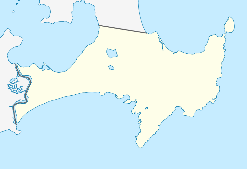
Mercator-Projektion. Geographische Begrenzung der Karte:
Mercator projection. Geographic limits of the map:
|
||||||||||||
| දිනය | |||||||||||||
| මූලාශ්රය | ස්වයං නිර්මාණයකි, using OpenStreetMap data | ||||||||||||
| කර්තෘ | Carport | ||||||||||||
| අවසරය (මෙම ගොනුව නැවත භාවිතා කරමින්) |
|
||||||||||||
| SVG genesis |
|

ගොනු ඉතිහාසය
එම අවස්ථාවෙහිදී ගොනුව පැවැති ආකාරය නැරඹීමට දිනය/වේලාව මත ක්ලික් කරන්න.
| දිනය/වේලාව | කුඩා-රූපය | මාන | පරිශීලක | පරිකථනය | |
|---|---|---|---|---|---|
| වත්මන් | 16:18, 25 අප්රේල් 2010 | | 1,009 × 693 (507 කි.බ.) | Carport | {{Information |Description= {{de|Positionskarte des Jervis Bay Territory, Australien}} Mercator-Projektion. Geographische Begrenzung der Karte: * N: 35.101° S * S: 35.215° S * W: 150.580° O * O: 150.783° |
ගොනු භාවිතය
පහත දැක්වෙන පිටු 2 ක් විසින් මෙම ගොනුව භාවිතා කෙරෙයි:
ගෝලීය ගොනු භාවිතය
පහත දැක්වෙන අනෙකුත් විකියන් මගින් මෙම ගොනුව භාවිතා කරයි:
- af.wikipedia.org හි භාවිතය
- ar.wikipedia.org හි භාවිතය
- ba.wikipedia.org හි භාවිතය
- be.wikipedia.org හි භාවිතය
- bg.wikipedia.org හි භාවිතය
- ceb.wikipedia.org හි භාවිතය
- cs.wikipedia.org හි භාවිතය
- de.wikipedia.org හි භාවිතය
- en.wikipedia.org හි භාවිතය
- Booderee National Park and Botanic Gardens
- Jervis Bay Village
- Wreck Bay Village
- Template:Infobox Australian place/testcases
- User:Michael!/Project:Location map templates/Australia
- Module:Location map/data/Australia Jervis Bay Territory/doc
- Module:Location map/data/Australia Jervis Bay Territory
- Hive shipwreck
- Bherwerre Beach, Jervis Bay Territory
- Template:Sandbox/Innesw/Infobox Australian place/testcases
- es.wikipedia.org හි භාවිතය
- fa.wikipedia.org හි භාවිතය
- fr.wikipedia.org හි භාවිතය
- he.wikipedia.org හි භාවිතය
- hu.wikipedia.org හි භාවිතය
- hy.wikipedia.org හි භාවිතය
- ja.wikipedia.org හි භාවිතය
- ka.wikipedia.org හි භාවිතය
- kbd.wikipedia.org හි භාවිතය
- kn.wikipedia.org හි භාවිතය
- mk.wikipedia.org හි භාවිතය
- pl.wikipedia.org හි භාවිතය
- pl.wikibooks.org හි භාවිතය
- ru.wikipedia.org හි භාවිතය
- simple.wikipedia.org හි භාවිතය
- tr.wikipedia.org හි භාවිතය
- uk.wikipedia.org හි භාවිතය
මෙම ගොනුවේ තවත් ගෝලීය භාවිත බලන්න.