
ගොනුව:Angus UK location map.svg

Size of this PNG preview of this SVG file: 610 × 599 පික්සල. අනෙකුත් විභේදනයන්: 244 × 240 පික්සල | 489 × 480 පික්සල | 782 × 768 පික්සල | 1,042 × 1,024 පික්සල | 2,085 × 2,048 පික්සල | 1,425 × 1,400 පික්සල.
මුල් ගොනුව (SVG ගොනුව, නාමමාත්රිකව 1,425 × 1,400 පික්සල්, ගොනු විශාලත්වය: 1.14 මෙ.බ.)
| විස්තරය |
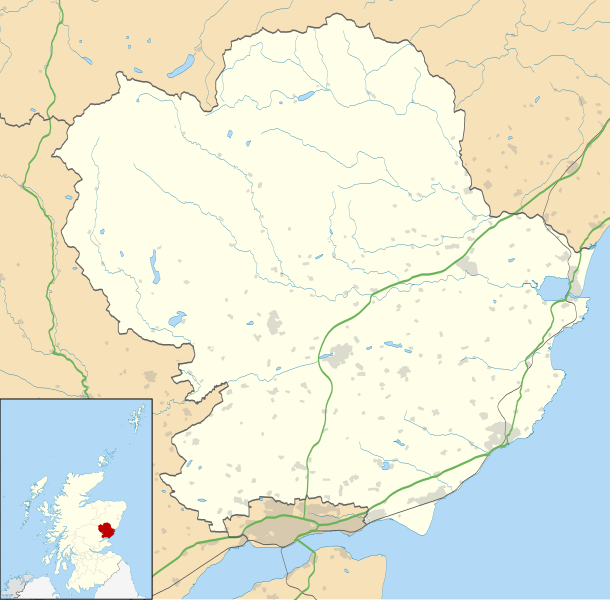
Blank map of Angus, UK with the following information shown:
Equirectangular map projection on WGS 84 datum, with N/S stretched 180% Geographic limits:
|
| දිනය | |
| මූලාශ්රය |
|
| කර්තෘ | Nilfanion, created using Ordnance Survey data |
| අවසරය (මෙම ගොනුව නැවත භාවිතා කරමින්) |
මෙම ගොනුව ක්රියේටිව් කොමන්ස් Attribution-Share Alike 3.0 Unported වරපත යටතේ අවසර ලබා ඇත. Attribution: Contains Ordnance Survey data © Crown copyright and database right
|
| අනෙකුත් අනුවාදයන් | File:Angus UK blank map.svg - Blank map |
ගොනු ඉතිහාසය
එම අවස්ථාවෙහිදී ගොනුව පැවැති ආකාරය නැරඹීමට දිනය/වේලාව මත ක්ලික් කරන්න.
| දිනය/වේලාව | කුඩා-රූපය | මාන | පරිශීලක | පරිකථනය | |
|---|---|---|---|---|---|
| වත්මන් | 20:01, 26 සැප්තැම්බර් 2010 | | 1,425 × 1,400 (1.14 මෙ.බ.) | Nilfanion | {{Information |Description=Blank map of Angus, UK with the following information shown: *Administrative borders *Coastline, lakes and rivers *Roads and railways *Urban areas Equirectangular map projection on WGS 84 datum, with N/S stretched 18 |
ගොනු භාවිතය
පහත දැක්වෙන පිටු 2 ක් විසින් මෙම ගොනුව භාවිතා කෙරෙයි:
ගෝලීය ගොනු භාවිතය
පහත දැක්වෙන අනෙකුත් විකියන් මගින් මෙම ගොනුව භාවිතා කරයි:
- ar.wikipedia.org හි භාවිතය
- ba.wikipedia.org හි භාවිතය
- bg.wikipedia.org හි භාවිතය
- br.wikipedia.org හි භාවිතය
- ceb.wikipedia.org හි භාවිතය
- de.wikipedia.org හි භාවිතය
- en.wikipedia.org හි භාවිතය
- Angus, Scotland
- Arbroath
- Glamis Castle
- List of monastic houses in Scotland
- Forfar
- Montrose, Angus
- Kirriemuir
- Colliston Castle
- Brechin
- Friockheim
- Carnoustie
- Glamis
- Aberlemno
- Memus
- Airlie, Angus
- Monifieth
- Liff, Angus
- Craigowl Hill
- Edzell Castle
- East Haven, Angus
- Station Park, Forfar
- Wikipedia:WikiProject Scottish Castles
- Tealing
- RAF Montrose
- Glebe Park, Brechin
- Barry, Angus
- Strathmartine
- Auchmithie
- Scottish Junior Football East Region Premier League North
- Cortachy
- Stracathro
- Bridge of Craigisla
- Carmyllie
- Edzell
- Farnell, Angus
- Guthrie, Angus
- Inverkeilor
- Letham, Angus
- Newbigging, Angus
- Murroes
- St Vigeans
මෙම ගොනුවේ තවත් ගෝලීය භාවිත බලන්න.