
ගොනුව:Americas laea location map with borders.svg

Size of this PNG preview of this SVG file: 531 × 600 පික්සල. අනෙකුත් විභේදනයන්: 212 × 240 පික්සල | 425 × 480 පික්සල | 680 × 768 පික්සල | 906 × 1,024 පික්සල | 1,812 × 2,048 පික්සල | 2,655 × 3,000 පික්සල.
මුල් ගොනුව (SVG ගොනුව, නාමමාත්රිකව 2,655 × 3,000 පික්සල්, ගොනු විශාලත්වය: 1.6 මෙ.බ.)
සාරාංශය
| විස්තරය |
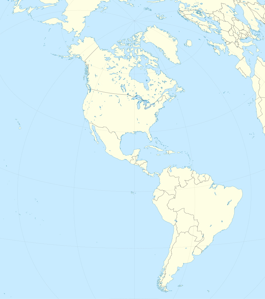
English: Location map of the Americas with political borders.
|
||
| දිනය | |||
| මූලාශ්රය | ස්වයං නිර්මාණයකි | ||
| කර්තෘ |
TUBS |
||
| SVG genesis | This locator map was created with Adobe Illustrator by TUBS. This SVG locator map was uploaded with Commonist.
• (Credits to Alexrk2 who plotted natural earth data. Original svg provided by him is here) |

බලපත්රීකරණය
I, මෙම කාර්යයේ ප්රකාශන අයිතිය දරන්නා,පහත බලපත්රය යටතේ එය ප්රකාශයට පත් කරනු ලබයි:
මෙම ගොනුව ක්රියේටිව් කොමන්ස් Attribution-Share Alike 3.0 Unported වරපත යටතේ අවසර ලබා ඇත.
- ඔබ නිදහස්:
- බෙදාහදා ගැනීමට – කාර්යය පිටපත් කිරීමට,බෙදා හැරීමට සහ සම්ප්රේෂණය කිරීමට
- නැවත සංකලනය කිරීමට – කාර්යයට අනුවර්තනය වීමට
- පහත කොන්දේසිවලට යටත්ව:
- attribution – වරපත වෙත බැඳියක්ද සපයමින් ඔබ විසින් සුදුසු කර්තෘභාරය ප්රදානය කල යුතු අතර, කිසියම් වෙනස්වීම් සිදුකලේ නම් එයද සඳහන් කල යුතු වෙයි. ඕනෑම සුදුසු ආකාරයට මෙය ඔබ විසින් සිදුකල හැකි මුත්, වරපත්දායකයා විසින් ඔබ හෝ ඔබගේ භාවිතය හෝ පිටසන් කරන බවට ඇඟවෙන ලෙසින් එය සිදු නොකල යුතු වෙයි.
- share alike – මෙම විෂය කාරණා භාවිතා කොට නැවත සංකලනය, ප්රතියෝජනය හෝ වැඩිදියුණුව කලේ නම්, ඉන්පසු ඔබගේ දායකත්වය ඔබ විසින් බෙදාහැරිය යුත්තේ මුල් වරපත හා සමාන හෝ සංගතික හෝ වරපතක් භාවිතා කරමිනි.

|
Free Software Foundation විසින් ප්රකාශිත GNU Free Documentation License බලපත්රයෙහි 1.2 හෝ ඊට අලුත් පිටපත්වල කොන්දේසිවලට යටත්ව මෙම ගොනුව පිටපත් කෙරුමට, නැවත බෙදාහාරුමට සහ/හෝ වෙනස් කෙරුමට අවසර දී ඇත; ඒ වෙනස් අංශ නොමැතිව, මුල් පිටු පෙළ නොමැතිව, පසු පිටු පෙළ නොමැතිවය. බලපත්රයේ පිටපතක් GNU Free Documentation License නම් අංශයේ දැක්වේ. |
ඔබට අභිමත වරපත තෝරාගත හැක.

|
I'd greatly appreciate, that you attribute this media file to Wikimedia Commons, if used outside Wikipedia or Commons. For use in publications such as books, newspapers, blogs, websites, please insert here the following line:
|
ගොනු ඉතිහාසය
එම අවස්ථාවෙහිදී ගොනුව පැවැති ආකාරය නැරඹීමට දිනය/වේලාව මත ක්ලික් කරන්න.
| දිනය/වේලාව | කුඩා-රූපය | මාන | පරිශීලක | පරිකථනය | |
|---|---|---|---|---|---|
| වත්මන් | 14:09, 14 ජූලි 2012 | | 2,655 × 3,000 (1.6 මෙ.බ.) | TUBS | {{Information |Description={{en|1= Location map of the Americas. * Projection: Lambert azimuthal equal-area projection. * Area of interest: :* N: X.X° N :* S: -X.X° S :* W: -X.X° E :* E: -X.X° E * Projection center: :* NS: 20.0° N :* WE: 90° W * ... |
ගොනු භාවිතය
පහත දැක්වෙන පිටු 2 ක් විසින් මෙම ගොනුව භාවිතා කෙරෙයි:
ගෝලීය ගොනු භාවිතය
පහත දැක්වෙන අනෙකුත් විකියන් මගින් මෙම ගොනුව භාවිතා කරයි:
- ar.wikipedia.org හි භාවිතය
- ast.wikipedia.org හි භාවිතය
- ca.wikipedia.org හි භාවිතය
- ceb.wikipedia.org හි භාවිතය
- de.wikipedia.org හි භාවිතය
- en.wikipedia.org හි භාවිතය
- Guatemala City
- Panama City
- Bogotá
- 2004 Summer Olympics torch relay
- Battle of Boyacá
- Battle of Angamos
- Battle of Cajamarca
- Johan Adolf Pengel International Airport
- Battle of Las Salinas
- Talk:International Football Association Board
- Battle of Cusco
- Wet 'n Wild (brand)
- Battle of Topáter
- Battle of Pisagua
- Battle of Suipacha
- Battle of Viluma
- Battle of Vilcapugio
- Battle of Ayohuma
- Battle of Ingavi
- Battle of Cotagaita
- Battle of Yavi
- Battle of Salta
- Battle of Tucumán
- Battle of Pequereque
- Action of Tambo Nuevo
- Parapan American Games
- Arctotherium
- Campo Vía pocket
- Battle of Gondra
- Battle of Kilometer 7
- Battle of la Tablada de Tolomosa
- Module:Location map/data/America/doc
- Second Battle of Nanawa
- First Battle of Nanawa
- Battle of Boquerón (1932)
- Battle of Cañada Strongest
- 2012 Web.com Tour
- Terrestrial analogue site
- 2013 Web.com Tour
- User:Spshu/Sandbox4
- List of American countries by monthly average wage
- 2014 Web.com Tour
මෙම ගොනුවේ තවත් ගෝලීය භාවිත බලන්න.