
ගොනුව:Žilina Region - background map.png

මෙම පෙරදසුනෙහි විශාලත්වය: 778 × 600 පික්සල. අනෙකුත් විභේදනයන්: 311 × 240 පික්සල | 623 × 480 පික්සල | 996 × 768 පික්සල | 1,222 × 942 පික්සල.
මුල් ගොනුව (1,222 × 942 පික්සල, ගොනු විශාලත්වය: 1.43 මෙ.බ., MIME ශෛලිය: image/png)
සාරාංශය
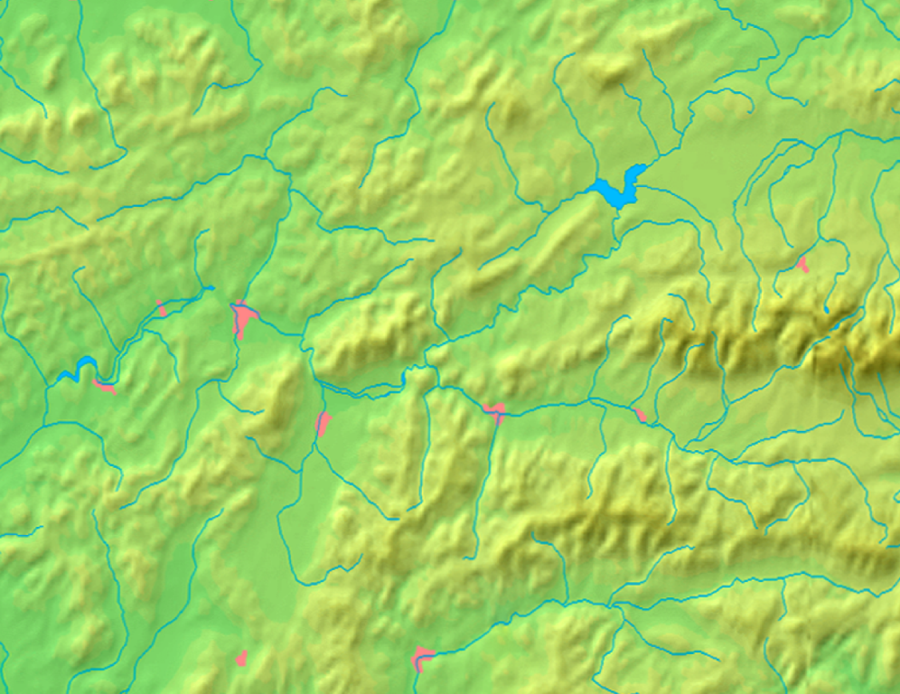
| විස්තරය | Background map of the Žilina Region, Slovakia, for Geoboxes, the same boundaries as Image:Žilina Region with districts map.svg | ||||
| දිනය | |||||
| මූලාශ්රය | Made my myself from free maps available at www.demis.nl | ||||
| කර්තෘ | Caroig | ||||
| අවසරය (මෙම ගොනුව නැවත භාවිතා කරමින්) |
|
||||
| අනෙකුත් අනුවාදයන් | Derivative works of this file: Žilina Region - physical map.png |
ගොනු ඉතිහාසය
එම අවස්ථාවෙහිදී ගොනුව පැවැති ආකාරය නැරඹීමට දිනය/වේලාව මත ක්ලික් කරන්න.
| දිනය/වේලාව | කුඩා-රූපය | මාන | පරිශීලක | පරිකථනය | |
|---|---|---|---|---|---|
| වත්මන් | 19:10, 8 සැප්තැම්බර් 2007 | | 1,222 × 942 (1.43 මෙ.බ.) | Caroig | better version |
| 18:05, 8 සැප්තැම්බර් 2007 |  | 1,527 × 1,177 (1.19 මෙ.බ.) | Caroig | better align | |
| 16:59, 3 සැප්තැම්බර් 2007 |  | 1,357 × 1,046 (1.18 මෙ.බ.) | Caroig | == Summary == {{Information |Description=Background map of the Žilina Region, Slovakia, for Geoboxes, the same boundaries as Image:Žilina Region with districts map.svg |Source=Made my myself from free maps available at www.d |
ගොනු භාවිතය
පහත දැක්වෙන පිටු 2 ක් විසින් මෙම ගොනුව භාවිතා කෙරෙයි:
ගෝලීය ගොනු භාවිතය
පහත දැක්වෙන අනෙකුත් විකියන් මගින් මෙම ගොනුව භාවිතා කරයි:
- en.wikipedia.org හි භාවිතය
- eo.wikipedia.org හි භාවිතය
- Granda Fatro
- Distrikto Turčianske Teplice
- Ŝablono:Geokesto/dokumentado
- Ŝablono:Geokesto
- Ŝablono:Geokesto2 simboloj
- Malgranda Fatro
- Ŝablono:Geokesto2
- Uzanto:Tlustulimu/geokesto2
- Ŝablono:Geokesto2/dokumentado
- Ŝablono:Geokesto3
- Ŝablono:Geokesto3/dokumentado
- Vikipedio:Lua/Moduloj/Geografiaĵoj/testoj/geokesto
- Ŝablono:Informkesto geografiaĵo/orografio
- fa.wikipedia.org හි භාවිතය
- fr.wikipedia.org හි භාවිතය
- hu.wikipedia.org හි භාවිතය
- mk.wikipedia.org හි භාවිතය
- ml.wikipedia.org හි භාවිතය
- ms.wikipedia.org හි භාවිතය
- sco.wikipedia.org හි භාවිතය
- simple.wikipedia.org හි භාවිතය
- sk.wikipedia.org හි භාවිතය
මෙම ගොනුවේ තවත් ගෝලීය භාවිත බලන්න.